Distance to Dale, Michigan

Calculating Your Route
Just a moment while we process your request...
Location Information
-
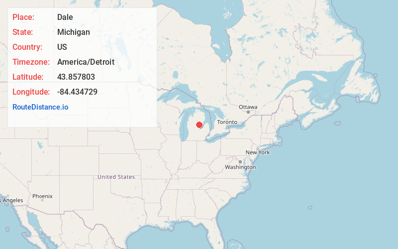
Full AddressDale, Tobacco Township, MI 48612
-
Coordinates43.8578025, -84.4347285
-
LocationTobacco Township , Michigan , US
-
TimezoneAmerica/Detroit
-
Current Local Time12:28:05 PM America/DetroitMonday, June 16, 2025
-
Page Views0
Nearby Places
Found 10 places within 50 miles

Beaverton
3.0 mi
4.8 km
Beaverton, MI 48612
Get directions

Cedar River
3.3 mi
5.3 km
Cedar River, Tobacco Township, MI 48612
Get directions
Billings
4.4 mi
7.1 km
Billings, MI 48612
Get directions
Edenville
4.8 mi
7.7 km
Edenville, MI 48628
Get directions
Lockwood Beach
5.0 mi
8.0 km
Lockwood Beach, Billings Township, MI 48612
Get directions
Winegars
6.9 mi
11.1 km
Winegars, MI 48624
Get directions
Highwood
8.0 mi
12.9 km
Highwood, Hay Township, MI 48612
Get directions
Hope
8.1 mi
13.0 km
Hope, MI 48628
Get directions

Gladwin
8.9 mi
14.3 km
Gladwin, MI 48624
Get directions
White Star
9.2 mi
14.8 km
White Star, MI 48624
Get directions
Location Links
Local Weather
Weather Information
Coming soon!
Location Map
Static map view of Dale, Michigan
Browse Places by Distance
Places within specific distances from Dale
Short Distances
Long Distances
Click any distance to see all places within that range from Dale. Distances shown in miles (1 mile ≈ 1.61 kilometers).