Distance to Dale, Oregon

Calculating Your Route
Just a moment while we process your request...
Location Information
-
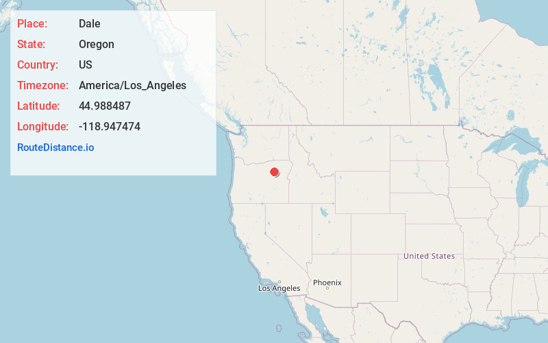
Full AddressDale, OR 97856
-
Coordinates44.9884873, -118.9474744
-
LocationDale , Oregon , US
-
TimezoneAmerica/Los_Angeles
-
Current Local Time2:25:31 PM America/Los_AngelesSaturday, June 28, 2025
-
Page Views0
About Dale
Dale is an unincorporated community in Grant County, Oregon, United States. It is located on U.S. Route 395 within the Umatilla National Forest about 17 miles south of Ukiah. It is near the Umatilla-Grant County border just south of the 45th parallel north.


Nearby Places
Found 10 places within 50 miles

Ukiah
10.1 mi
16.3 km
Ukiah, OR 97880
Get directions

Hidaway Springs
14.2 mi
22.9 km
Hidaway Springs, OR 97880
Get directions
Galena
20.3 mi
32.7 km
Galena, OR 97817
Get directions

Long Creek
20.5 mi
33.0 km
Long Creek, OR 97856
Get directions
Gurdane
20.8 mi
33.5 km
Gurdane, OR 97868
Get directions

Fox
25.4 mi
40.9 km
Fox, OR 97856
Get directions

Monument
26.0 mi
41.8 km
Monument, OR 97864
Get directions

Granite
28.7 mi
46.2 km
Granite, OR 97877
Get directions
Greenhorn
29.4 mi
47.3 km
Greenhorn, OR
Get directions
Robinsonville
29.6 mi
47.6 km
Robinsonville, OR 97877
Get directions
Location Links
Local Weather
Weather Information
Coming soon!
Location Map
Static map view of Dale, Oregon
Browse Places by Distance
Places within specific distances from Dale
Short Distances
Long Distances
Click any distance to see all places within that range from Dale. Distances shown in miles (1 mile ≈ 1.61 kilometers).