Distance to Dalton, Wisconsin

Calculating Your Route
Just a moment while we process your request...
Location Information
-
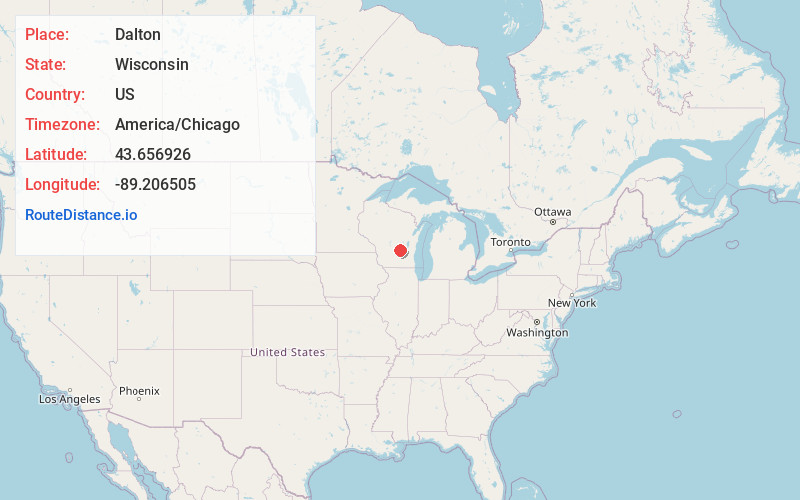
Full AddressDalton, WI 53926
-
Coordinates43.6569261, -89.2065051
-
LocationDalton , Wisconsin , US
-
TimezoneAmerica/Chicago
-
Current Local Time7:10:46 PM America/ChicagoWednesday, June 4, 2025
-
Page Views0
About Dalton
Dalton is an unincorporated census-designated place in the town of Kingston located in the southwestern corner of Green Lake County, Wisconsin, United States. It is located on Wisconsin Highway 44. It uses ZIP code 53926. As of the 2020 census, its population was 215, up from 206 at the 2010 census.
Nearby Places
Found 10 places within 50 miles

Kingston
4.8 mi
7.7 km
Kingston, WI
Get directions
Friesland
8.4 mi
13.5 km
Friesland, WI
Get directions

Cambria
9.4 mi
15.1 km
Cambria, WI 53923
Get directions

Pardeeville
9.5 mi
15.3 km
Pardeeville, WI 53954
Get directions

Montello
10.9 mi
17.5 km
Montello, WI 53949
Get directions

Markesan
11.4 mi
18.3 km
Markesan, WI 53946
Get directions
Wyocena
12.2 mi
19.6 km
Wyocena, WI
Get directions
Randolph
12.9 mi
20.8 km
Randolph, WI
Get directions

Endeavor
13.6 mi
21.9 km
Endeavor, WI 53930
Get directions

Princeton
14.0 mi
22.5 km
Princeton, WI 54968
Get directions
Location Links
Local Weather
Weather Information
Coming soon!
Location Map
Static map view of Dalton, Wisconsin
Browse Places by Distance
Places within specific distances from Dalton
Short Distances
Long Distances
Click any distance to see all places within that range from Dalton. Distances shown in miles (1 mile ≈ 1.61 kilometers).