Distance to Damar, Kansas

Calculating Your Route
Just a moment while we process your request...
Location Information
-
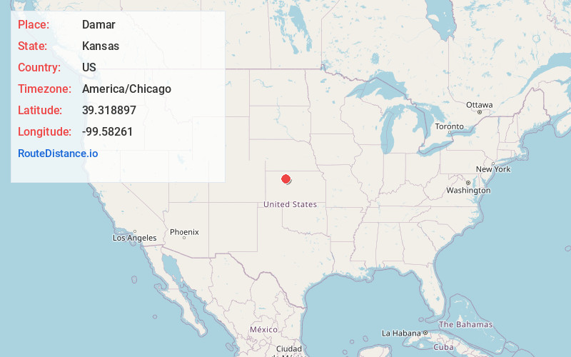
Full AddressDamar, KS 67632
-
Coordinates39.3188968, -99.5826102
-
LocationDamar , Kansas , US
-
TimezoneAmerica/Chicago
-
Current Local Time10:46:05 AM America/ChicagoWednesday, June 18, 2025
-
Page Views0
About Damar
Damar is a city in Rooks County, Kansas, United States. As of the 2020 census, the population of the city was 112.
Nearby Places
Found 10 places within 50 miles

Hill City
14.2 mi
22.9 km
Hill City, KS
Get directions

Plainville
16.3 mi
26.2 km
Plainville, KS 67663
Get directions

Stockton
18.9 mi
30.4 km
Stockton, KS 67669
Get directions

Logan
23.7 mi
38.1 km
Logan, KS 67646
Get directions

WaKeeney
25.8 mi
41.5 km
WaKeeney, KS 67672
Get directions

Ellis
26.3 mi
42.3 km
Ellis, KS 67637
Get directions
Lenora
30.1 mi
48.4 km
Lenora, KS 67645
Get directions

Natoma
30.9 mi
49.7 km
Natoma, KS 67651
Get directions

Phillipsburg
33.2 mi
53.4 km
Phillipsburg, KS 67661
Get directions
Catharine
33.4 mi
53.8 km
Catharine, KS
Get directions
Location Links
Local Weather
Weather Information
Coming soon!
Location Map
Static map view of Damar, Kansas
Browse Places by Distance
Places within specific distances from Damar
Short Distances
Long Distances
Click any distance to see all places within that range from Damar. Distances shown in miles (1 mile ≈ 1.61 kilometers).