Distance to Damascus, Illinois

Calculating Your Route
Just a moment while we process your request...
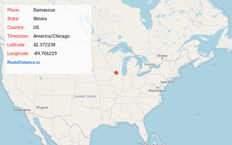
Location Information
-
Full AddressDamascus, Harlem Township, IL 61032
-
Coordinates42.3722378, -89.7062292
-
LocationHarlem Township , Illinois , US
-
TimezoneAmerica/Chicago
-
Current Local Time6:22:49 AM America/ChicagoSunday, June 22, 2025
-
Page Views0
About Damascus
Damascus is an unincorporated community in Harlem and Waddams townships, Stephenson County, Illinois. Damascus is located at the junction of County Routes 5 and 26, 3.75 miles west of Cedarville.
Nearby Places
Found 10 places within 50 miles

Scioto Mills
2.2 mi
3.5 km
Scioto Mills, IL 61032
Get directions
Red Oak
2.2 mi
3.5 km
Red Oak, Buckeye Township, IL 61032
Get directions

Cedarville
3.7 mi
6.0 km
Cedarville, IL
Get directions

Eleroy
3.9 mi
6.3 km
Eleroy, IL 61048
Get directions

McConnell
4.5 mi
7.2 km
McConnell, IL 61050
Get directions

Lena
5.9 mi
9.5 km
Lena, IL 61048
Get directions

Freeport
6.8 mi
10.9 km
Freeport, IL 61032
Get directions
Orangeville
7.4 mi
11.9 km
Orangeville, IL 61060
Get directions
Afolkey
7.9 mi
12.7 km
Afolkey, IL 61018
Get directions
Oneco
8.2 mi
13.2 km
Oneco, IL 61060
Get directions
Location Links
Local Weather
Weather Information
Coming soon!
Location Map
Static map view of Damascus, Illinois
Browse Places by Distance
Places within specific distances from Damascus
Short Distances
Long Distances
Click any distance to see all places within that range from Damascus. Distances shown in miles (1 mile ≈ 1.61 kilometers).