Distance to Danbury, Iowa

Calculating Your Route
Just a moment while we process your request...
Location Information
-
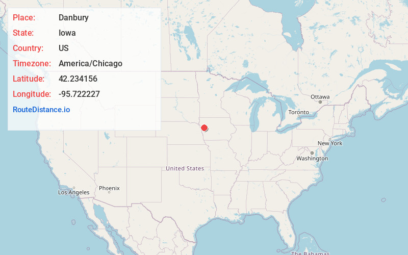
Full AddressDanbury, IA 51019
-
Coordinates42.2341562, -95.7222265
-
LocationDanbury , Iowa , US
-
TimezoneAmerica/Chicago
-
Current Local Time7:48:24 PM America/ChicagoFriday, May 30, 2025
-
Page Views0
About Danbury
Danbury is a city in Woodbury County, Iowa, United States. It is part of the Sioux City, IA–NE–SD Metropolitan Statistical Area. The population was 320 at the time of the 2020 census. Danbury has two churches, St. Mary's Catholic Church and the United Methodist Church.
Nearby Places
Found 10 places within 50 miles

Mapleton
6.0 mi
9.7 km
Mapleton, IA 51034
Get directions

Battle Creek
8.5 mi
13.7 km
Battle Creek, IA 51006
Get directions

Ute
12.7 mi
20.4 km
Ute, IA 51060
Get directions

Anthon
13.0 mi
20.9 km
Anthon, IA 51004
Get directions
Charter Oak
13.3 mi
21.4 km
Charter Oak, IA 51439
Get directions

Ida Grove
15.0 mi
24.1 km
Ida Grove, IA 51445
Get directions
Schleswig
15.4 mi
24.8 km
Schleswig, IA 51461
Get directions

Correctionville
17.0 mi
27.4 km
Correctionville, IA 51016
Get directions
Hornick
19.2 mi
30.9 km
Hornick, IA 51026
Get directions

Holstein
19.8 mi
31.9 km
Holstein, IA 51025
Get directions
Location Links
Local Weather
Weather Information
Coming soon!
Location Map
Static map view of Danbury, Iowa
Browse Places by Distance
Places within specific distances from Danbury
Short Distances
Long Distances
Click any distance to see all places within that range from Danbury. Distances shown in miles (1 mile ≈ 1.61 kilometers).