Distance to Danciger, Texas

Calculating Your Route
Just a moment while we process your request...
Location Information
-
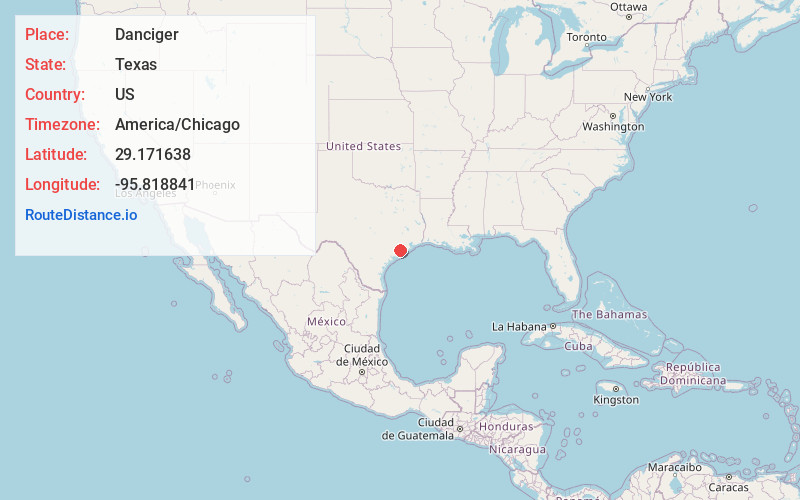
Full AddressDanciger, TX 77480
-
Coordinates29.1716381, -95.8188406
-
LocationDanciger , Texas , US
-
TimezoneAmerica/Chicago
-
Current Local Time5:11:19 PM America/ChicagoTuesday, June 3, 2025
-
Page Views0
About Danciger
Danciger is an unincorporated community in Brazoria County, Texas, United States. According to the Handbook of Texas, the community had a population of 357 in 2000. It is located within the Greater Houston metropolitan area.
Nearby Places
Found 10 places within 50 miles

Damon
9.7 mi
15.6 km
Damon, TX 77430
Get directions

Boling-Iago
9.7 mi
15.6 km
Boling-Iago, TX 77420
Get directions

West Columbia
10.7 mi
17.2 km
West Columbia, TX 77486
Get directions

Van Vleck
11.5 mi
18.5 km
Van Vleck, TX
Get directions

Sweeny
11.7 mi
18.8 km
Sweeny, TX 77480
Get directions

East Columbia
12.4 mi
20.0 km
East Columbia, TX 77486
Get directions

Wild Peach Village
12.7 mi
20.4 km
Wild Peach Village, TX 77422
Get directions

Needville
15.8 mi
25.4 km
Needville, TX 77461
Get directions

Bay City
15.9 mi
25.6 km
Bay City, TX 77414
Get directions
Dinsmore
17.2 mi
27.7 km
Dinsmore, TX 77488
Get directions
Location Links
Local Weather
Weather Information
Coming soon!
Location Map
Static map view of Danciger, Texas
Browse Places by Distance
Places within specific distances from Danciger
Short Distances
Long Distances
Click any distance to see all places within that range from Danciger. Distances shown in miles (1 mile ≈ 1.61 kilometers).