Distance to Daniels, Wisconsin

Calculating Your Route
Just a moment while we process your request...
Location Information
-
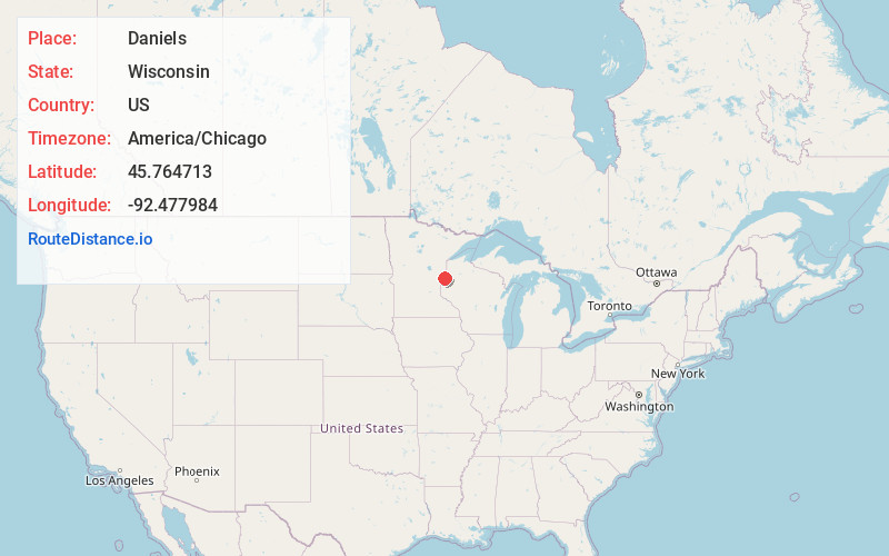
Full AddressDaniels, WI
-
Coordinates45.7647125, -92.4779841
-
LocationDaniels , Wisconsin , US
-
TimezoneAmerica/Chicago
-
Current Local Time2:49:01 PM America/ChicagoSunday, June 22, 2025
-
Page Views0
About Daniels
Daniels is a town in Burnett County in the U.S. state of Wisconsin. The population was 649 at the 2010 census. The unincorporated community of Falun is located within the town.
Nearby Places
Found 10 places within 50 miles

West Sweden
4.2 mi
6.8 km
West Sweden, WI 54837
Get directions

Siren
4.9 mi
7.9 km
Siren, WI 54872
Get directions

Alpha
4.9 mi
7.9 km
Alpha, WI 54840
Get directions
Wood River
4.9 mi
7.9 km
Wood River, WI 54840
Get directions
Lewis
5.2 mi
8.4 km
Lewis, WI
Get directions

Frederic
7.3 mi
11.7 km
Frederic, WI 54837
Get directions
Trade Lake
7.6 mi
12.2 km
Trade Lake, WI 54837
Get directions
Pole Cat Crossing
8.8 mi
14.2 km
Pole Cat Crossing, WI 54837
Get directions

Webster
9.4 mi
15.1 km
Webster, WI 54893
Get directions

Grantsburg
9.9 mi
15.9 km
Grantsburg, WI 54840
Get directions
Location Links
Local Weather
Weather Information
Coming soon!
Location Map
Static map view of Daniels, Wisconsin
Browse Places by Distance
Places within specific distances from Daniels
Short Distances
Long Distances
Click any distance to see all places within that range from Daniels. Distances shown in miles (1 mile ≈ 1.61 kilometers).