Distance to Danielson, CT, Connecticut

Calculating Your Route
Just a moment while we process your request...
Location Information
-
Full AddressDanielson, CT, CT
-
Coordinates41.7814458, -71.8808499
-
LocationConnecticut , US
-
TimezoneAmerica/New_York
-
Current Local Time9:37:12 AM America/New_YorkTuesday, June 24, 2025
-
Page Views0

Nearby Places
Found 10 places within 50 miles

Foster
8.1 mi
13.0 km
Foster, RI
Get directions

Glocester
12.9 mi
20.8 km
Glocester, RI
Get directions

Scituate
13.5 mi
21.7 km
Scituate, RI
Get directions

West Greenwich
15.4 mi
24.8 km
West Greenwich, RI
Get directions

Burrillville
16.3 mi
26.2 km
Burrillville, RI
Get directions

Coventry
17.5 mi
28.2 km
Coventry, RI
Get directions

Dudley
18.3 mi
29.5 km
Dudley, MA 01571
Get directions

Webster
18.6 mi
29.9 km
Webster, MA 01570
Get directions

Johnston
19.2 mi
30.9 km
Johnston, RI 02919
Get directions

West Warwick
19.4 mi
31.2 km
West Warwick, RI 02893
Get directions
Location Links
Local Weather
Weather Information
Coming soon!
Location Map
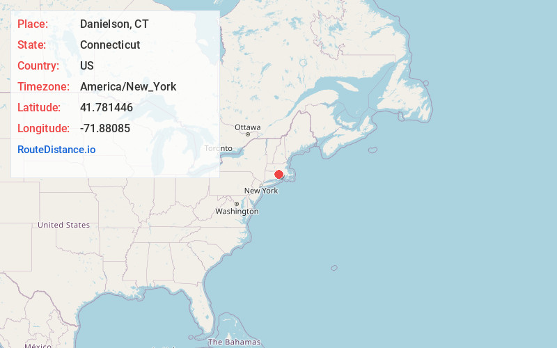
Static map view of Danielson, CT, Connecticut
Browse Places by Distance
Places within specific distances from Danielson, CT
Short Distances
Long Distances
Click any distance to see all places within that range from Danielson, CT. Distances shown in miles (1 mile ≈ 1.61 kilometers).