Distance to Danville, Maryland

Calculating Your Route
Just a moment while we process your request...
Location Information
-
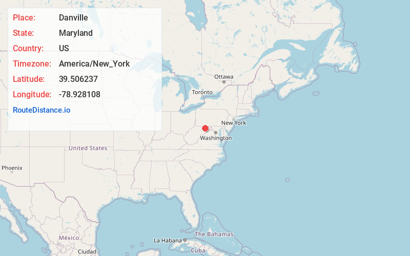
Full AddressDanville, MD 21557
-
Coordinates39.506237, -78.928108
-
LocationDanville , Maryland , US
-
TimezoneAmerica/New_York
-
Current Local Time6:54:28 PM America/New_YorkWednesday, June 4, 2025
-
Page Views0
About Danville
Danville is an unincorporated community and census-designated place in Allegany County, Maryland, United States. As of the 2010 census it had a population of 271.
Danville is located along U.S. Route 220, 14 miles southwest of Cumberland, and 6 miles northeast of Keyser, West Virginia.
Nearby Places
Found 10 places within 50 miles

Lonaconing
5.0 mi
8.0 km
Lonaconing, MD 21539
Get directions

Barton
5.1 mi
8.2 km
Barton, MD 21521
Get directions

Keyser
5.1 mi
8.2 km
Keyser, WV 26726
Get directions

Midland
5.9 mi
9.5 km
Midland, MD
Get directions
Westernport
6.4 mi
10.3 km
Westernport, MD 21562
Get directions
Piedmont
6.6 mi
10.6 km
Piedmont, WV 26750
Get directions
Cresaptown
7.8 mi
12.6 km
Cresaptown, MD 21502
Get directions

Fort Ashby
8.5 mi
13.7 km
Fort Ashby, WV 26719
Get directions
Potomac Park
9.8 mi
15.8 km
Potomac Park, MD 21502
Get directions
Bowling Green
10.4 mi
16.7 km
Bowling Green, MD 21502
Get directions
Location Links
Local Weather
Weather Information
Coming soon!
Location Map
Static map view of Danville, Maryland
Browse Places by Distance
Places within specific distances from Danville
Short Distances
Long Distances
Click any distance to see all places within that range from Danville. Distances shown in miles (1 mile ≈ 1.61 kilometers).