Distance to Darien, Illinois

Calculating Your Route
Just a moment while we process your request...
Location Information
-
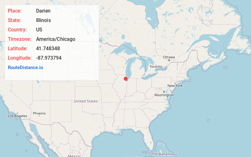
Full AddressDarien, IL
-
Coordinates41.7483483, -87.9737943
-
LocationDarien , Illinois , US
-
TimezoneAmerica/Chicago
-
Current Local Time12:51:14 PM America/ChicagoThursday, June 5, 2025
-
Website
-
Page Views0
About Darien
Darien is a city in DuPage County, Illinois, United States. Per the 2020 census, the population was 22,011. A southwestern suburb of Chicago, Darien was named after the town of Darien, Connecticut. Darien is just north of I-55 and Historic U.S. Route 66. The entire south edge of the town borders Waterfall Glen.


Nearby Places
Found 10 places within 50 miles

Westmont
3.3 mi
5.3 km
Westmont, IL
Get directions

Woodridge
3.9 mi
6.3 km
Woodridge, IL
Get directions

Downers Grove
4.6 mi
7.4 km
Downers Grove, IL
Get directions

Bolingbrook
6.0 mi
9.7 km
Bolingbrook, IL
Get directions

Lisle
6.4 mi
10.3 km
Lisle, IL
Get directions

Romeoville
9.2 mi
14.8 km
Romeoville, IL
Get directions

Lombard
9.3 mi
15.0 km
Lombard, IL
Get directions

Naperville
9.3 mi
15.0 km
Naperville, IL
Get directions

Villa Park
9.8 mi
15.8 km
Villa Park, IL
Get directions

Glen Ellyn
10.1 mi
16.3 km
Glen Ellyn, IL
Get directions
Location Links
Local Weather
Weather Information
Coming soon!
Location Map
Static map view of Darien, Illinois
Browse Places by Distance
Places within specific distances from Darien
Short Distances
Long Distances
Click any distance to see all places within that range from Darien. Distances shown in miles (1 mile ≈ 1.61 kilometers).