Distance to Darjeeling, West Bengal

Calculating Your Route
Just a moment while we process your request...
Location Information
-
Full AddressDarjeeling, West Bengal, India
-
Coordinates27.0416208, 88.2664124
-
LocationDarjeeling , West Bengal , IN
-
TimezoneAsia/Calcutta
-
Page Views0
About Darjeeling
Darjeeling is a town in India's West Bengal state, in the Himalayan foothills. Once a summer resort for the British Raj elite, it remains the terminus of the narrow-gauge Darjeeling Himalayan Railway, or “Toy Train,” completed in 1881. It's famed for the distinctive black tea grown on plantations that dot its surrounding slopes. Its backdrop is Mt. Kanchenjunga, among the world’s highest peaks.


Location Links
Local Weather
Weather Information
Coming soon!
Location Map
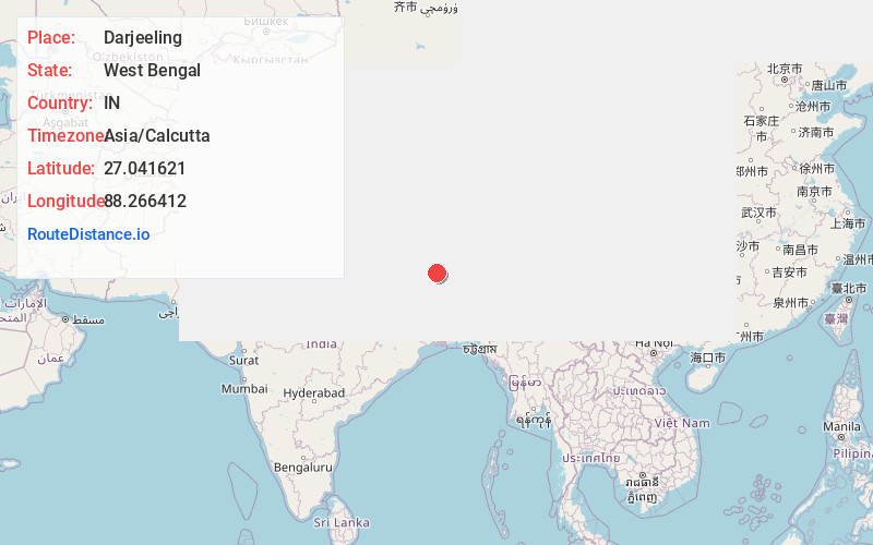
Static map view of Darjeeling, West Bengal
Browse Places by Distance
Places within specific distances from Darjeeling
Short Distances
Long Distances
Click any distance to see all places within that range from Darjeeling. Distances shown in miles (1 mile ≈ 1.61 kilometers).