Distance to Darr, Nebraska

Calculating Your Route
Just a moment while we process your request...
Location Information
-
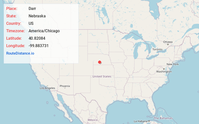
Full AddressDarr, NE 69130
-
Coordinates40.8208402, -99.8837305
-
LocationDarr , Nebraska , US
-
TimezoneAmerica/Chicago
-
Current Local Time8:08:58 PM America/ChicagoTuesday, June 3, 2025
-
Page Views0
About Darr
Darr is an unincorporated community in Dawson County, Nebraska, United States. Darr is located on U.S. Route 30 and Nebraska Highway 21 between Cozad and Lexington. Its elevation is 2,451 feet. Darr appears on the Cozad USGS map.
Nearby Places
Found 10 places within 50 miles

Cozad
5.9 mi
9.5 km
Cozad, NE 69130
Get directions

Lexington
7.9 mi
12.7 km
Lexington, NE 68850
Get directions

Willow Island
10.8 mi
17.4 km
Willow Island, NE
Get directions

Eustis
13.3 mi
21.4 km
Eustis, NE 69028
Get directions
Josselyn
14.4 mi
23.2 km
Josselyn, NE 68850
Get directions
Elwood
15.9 mi
25.6 km
Elwood, NE 68937
Get directions

Gothenburg
16.2 mi
26.1 km
Gothenburg, NE 69138
Get directions
Devils Gap
16.7 mi
26.9 km
Devils Gap, Elwood 7-23 Precinct, NE 68937
Get directions
Smithfield
18.7 mi
30.1 km
Smithfield, NE 68976
Get directions
Eddyville
18.9 mi
30.4 km
Eddyville, NE 68834
Get directions
Location Links
Local Weather
Weather Information
Coming soon!
Location Map
Static map view of Darr, Nebraska
Browse Places by Distance
Places within specific distances from Darr
Short Distances
Long Distances
Click any distance to see all places within that range from Darr. Distances shown in miles (1 mile ≈ 1.61 kilometers).