Distance to Dash Point State Park, Washington

Calculating Your Route
Just a moment while we process your request...
Location Information
-
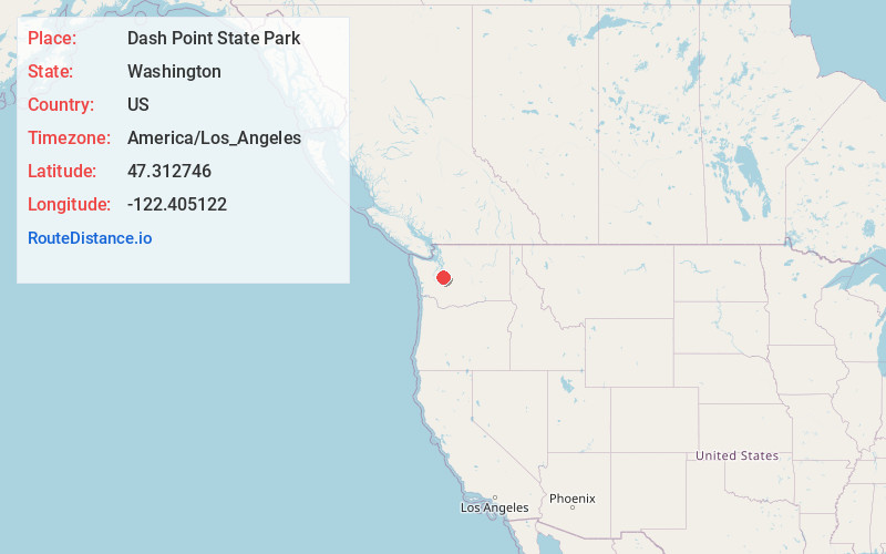
Full AddressDash Point State Pk, 5700 SW Dash Point Rd, Federal Way, WA 98023
-
Coordinates47.312746, -122.4051221
-
Street5700 SW Dash Point Rd
-
LocationFederal Way , Washington , US
-
TimezoneAmerica/Los_Angeles
-
Current Local Time2:52:01 AM America/Los_AngelesSunday, June 22, 2025
-
Website
-
Page Views0
About Dash Point State Park
Park offering 400 acres on Puget Sound for swimming, camping, hiking, biking & hand-launched boats.


Nearby Places
Found 10 places within 50 miles

Dash Point
0.7 mi
1.1 km
Dash Point, WA 98422
Get directions

Tacoma
4.3 mi
6.9 km
Tacoma, WA
Get directions

Federal Way
4.3 mi
6.9 km
Federal Way, WA
Get directions

Fife Heights
4.6 mi
7.4 km
Fife Heights, WA
Get directions

Ruston
5.0 mi
8.0 km
Ruston, WA
Get directions

Fife
5.6 mi
9.0 km
Fife, WA
Get directions
Lakeland North
5.9 mi
9.5 km
Lakeland North, WA
Get directions

Milton
6.2 mi
10.0 km
Milton, WA
Get directions

Lakeland South
6.4 mi
10.3 km
Lakeland South, WA
Get directions

Edgewood
6.8 mi
10.9 km
Edgewood, WA
Get directions
Location Links
Local Weather
Weather Information
Coming soon!
Location Map
Static map view of Dash Point State Park, Washington
Browse Places by Distance
Places within specific distances from Dash Point State Park
Short Distances
Long Distances
Click any distance to see all places within that range from Dash Point State Park. Distances shown in miles (1 mile ≈ 1.61 kilometers).