Distance to Davidson Heights, Pennsylvania

Calculating Your Route
Just a moment while we process your request...
Location Information
-
Full AddressDavidson Heights, Hopewell Township, PA 15001
-
Coordinates40.5834004, -80.2597829
-
LocationHopewell Township , Pennsylvania , US
-
TimezoneAmerica/New_York
-
Current Local Time1:53:34 AM America/New_YorkWednesday, June 25, 2025
-
Page Views0
Nearby Places
Found 10 places within 50 miles

Crestmont Village
0.9 mi
1.4 km
Crestmont Village, Hopewell Township, PA 15001
Get directions

South Heights
1.4 mi
2.3 km
South Heights, PA
Get directions
New Sheffield
1.5 mi
2.4 km
New Sheffield, Hopewell Township, PA 15001
Get directions

Ambridge
1.9 mi
3.1 km
Ambridge, PA 15003
Get directions

Aliquippa
2.2 mi
3.5 km
Aliquippa, PA 15001
Get directions
Glenwillard
2.5 mi
4.0 km
Glenwillard, PA 15046
Get directions

Fair Oaks
2.7 mi
4.3 km
Fair Oaks, PA 15143
Get directions

Leetsdale
3.0 mi
4.8 km
Leetsdale, PA
Get directions
Leet Township
3.1 mi
5.0 km
Leet Township, PA
Get directions
Bocktown
3.5 mi
5.6 km
Bocktown, Independence Township, PA 15001
Get directions
Location Links
Local Weather
Weather Information
Coming soon!
Location Map
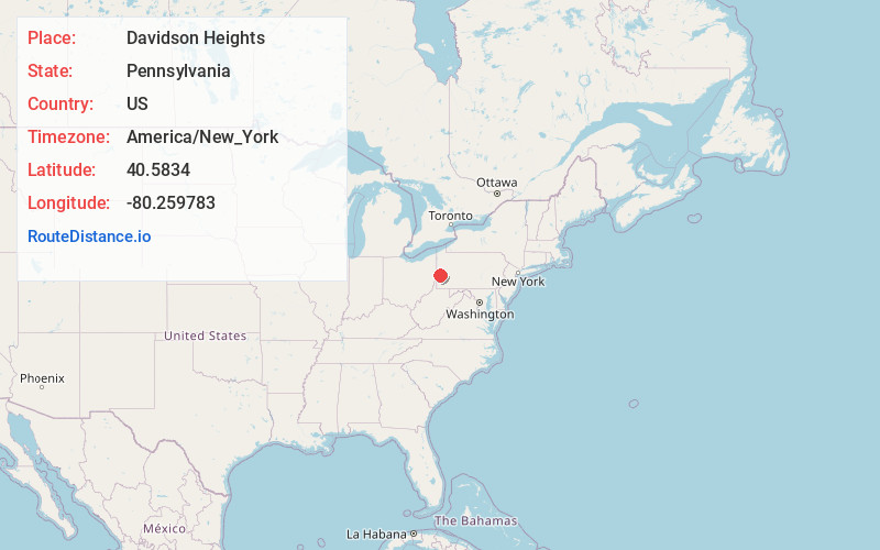
Static map view of Davidson Heights, Pennsylvania
Browse Places by Distance
Places within specific distances from Davidson Heights
Short Distances
Long Distances
Click any distance to see all places within that range from Davidson Heights. Distances shown in miles (1 mile ≈ 1.61 kilometers).