Distance to Davis Township, Indiana

Calculating Your Route
Just a moment while we process your request...
Location Information
-
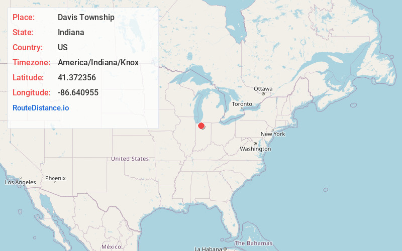
Full AddressDavis Township, IN
-
Coordinates41.3723559, -86.6409554
-
LocationDavis Township , Indiana , US
-
TimezoneAmerica/Indiana/Knox
-
Current Local Time5:55:58 AM America/Indiana/KnoxSaturday, June 21, 2025
-
Page Views0
About Davis Township
Davis Township is one of nine townships in Starke County, in the U.S. state of Indiana. As of the 2020 census, its population was 1,002 and it contained 421 housing units.


Nearby Places
Found 10 places within 50 miles

Hamlet
3.0 mi
4.8 km
Hamlet, IN 46532
Get directions
Brems
3.7 mi
6.0 km
Brems, Center Township, IN 46534
Get directions
Indian Hill
3.9 mi
6.3 km
Indian Hill, Center Township, IN 46534
Get directions

Knox
5.3 mi
8.5 km
Knox, IN 46534
Get directions
Hanna Township
6.2 mi
10.0 km
Hanna Township, IN
Get directions

Prairie Township
7.0 mi
11.3 km
Prairie Township, IN
Get directions

Grovertown
7.1 mi
11.4 km
Grovertown, IN 46531
Get directions
South Center
7.2 mi
11.6 km
South Center, IN 46532
Get directions
Union Center
7.7 mi
12.4 km
Union Center, Union Township, IN 46532
Get directions
Hanna
7.8 mi
12.6 km
Hanna, IN 46340
Get directions
Location Links
Local Weather
Weather Information
Coming soon!
Location Map
Static map view of Davis Township, Indiana
Browse Places by Distance
Places within specific distances from Davis Township
Short Distances
Long Distances
Click any distance to see all places within that range from Davis Township. Distances shown in miles (1 mile ≈ 1.61 kilometers).