Distance to Dawson, Ontario

Calculating Your Route
Just a moment while we process your request...
Location Information
-
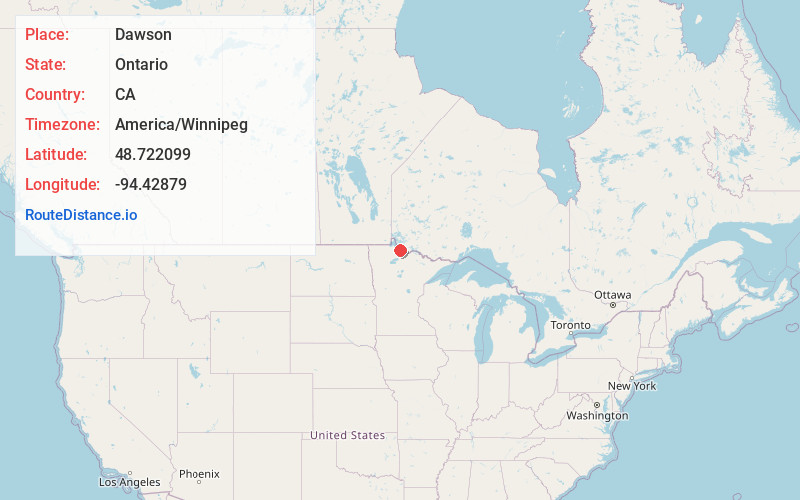
Full AddressDawson, ON, Canada
-
Coordinates48.7220992, -94.4287897
-
LocationDawson , Ontario , CA
-
TimezoneAmerica/Winnipeg
-
Current Local Time10:51:06 PM America/WinnipegFriday, May 23, 2025
-
Page Views0
About Dawson
Dawson is a township located in Rainy River District in Northwestern Ontario, Canada. The township is located at the mouth of the Rainy River where it flows into Lake of the Woods.
Nearby Places
Found 10 places within 50 miles

Clementson
2.2 mi
3.5 km
Clementson, MN 56623
Get directions
Central
4.2 mi
6.8 km
Central, MN 56623
Get directions

Border
7.1 mi
11.4 km
Border, MN 56623
Get directions

Baudette
7.8 mi
12.6 km
Baudette, MN 56623
Get directions
Frontier
9.1 mi
14.6 km
Frontier, MN 56623
Get directions
Pitt
14.0 mi
22.5 km
Pitt, MN 56623
Get directions
Wheelers Point
14.6 mi
23.5 km
Wheelers Point, MN 56623
Get directions
Hackett
14.7 mi
23.7 km
Hackett, MN 56623
Get directions

Birchdale
16.3 mi
26.2 km
Birchdale, MN 56623
Get directions
Carp
18.0 mi
29.0 km
Carp, MN 56623
Get directions
Location Links
Local Weather
Weather Information
Coming soon!
Location Map
Static map view of Dawson, Ontario
Browse Places by Distance
Places within specific distances from Dawson
Short Distances
Long Distances
Click any distance to see all places within that range from Dawson. Distances shown in miles (1 mile ≈ 1.61 kilometers).