Distance to Dayhoit, Kentucky

Calculating Your Route
Just a moment while we process your request...
Location Information
-
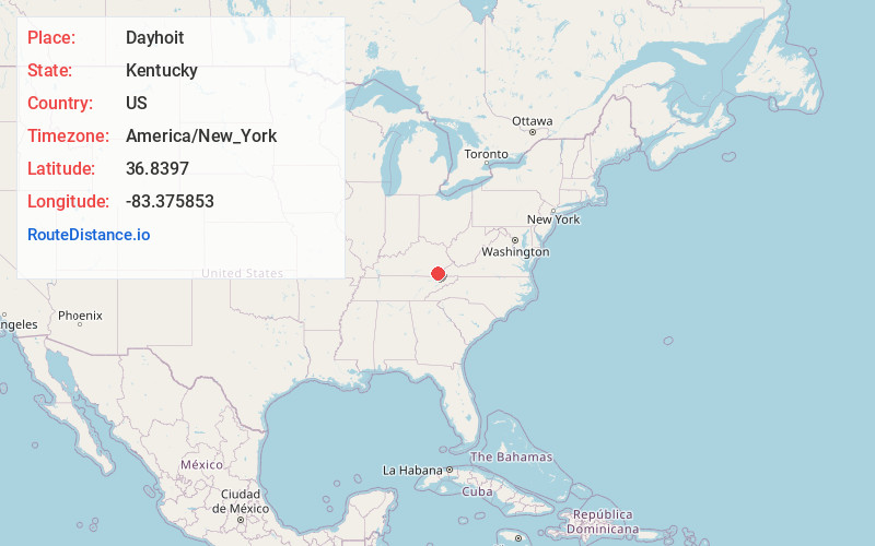
Full AddressDayhoit, KY
-
Coordinates36.8397004, -83.3758534
-
LocationDayhoit , Kentucky , US
-
TimezoneAmerica/New_York
-
Current Local Time9:44:00 AM America/New_YorkTuesday, June 24, 2025
-
Page Views0
About Dayhoit
Dayhoit is an unincorporated community in Harlan County, Kentucky, United States. It has a post office with the ZIP code 40824. The population of the ZCTA for 40824 was 458 at the 2000 census.
Dayhoit is also known as Wilhoit, and its odd double name has a complicated history.
Nearby Places
Found 10 places within 50 miles

Fresh Meadows
0.3 mi
0.5 km
Fresh Meadows, KY 40873
Get directions
Keith
0.9 mi
1.4 km
Keith, KY 40873
Get directions
Rio Vista
1.0 mi
1.6 km
Rio Vista, KY 40806
Get directions
Tremont
1.2 mi
1.9 km
Tremont, KY 40873
Get directions

Loyall
1.5 mi
2.4 km
Loyall, KY
Get directions
Longton
1.9 mi
3.1 km
Longton, KY 40873
Get directions

Wallins Creek
2.3 mi
3.7 km
Wallins Creek, KY 40873
Get directions
South Wallins
2.6 mi
4.2 km
South Wallins, KY 40873
Get directions

Sunshine
2.6 mi
4.2 km
Sunshine, KY 40831
Get directions
Elcomb
2.7 mi
4.3 km
Elcomb, KY 40831
Get directions
Location Links
Local Weather
Weather Information
Coming soon!
Location Map
Static map view of Dayhoit, Kentucky
Browse Places by Distance
Places within specific distances from Dayhoit
Short Distances
Long Distances
Click any distance to see all places within that range from Dayhoit. Distances shown in miles (1 mile ≈ 1.61 kilometers).