Distance to Dayton, Idaho

Calculating Your Route
Just a moment while we process your request...
Location Information
-
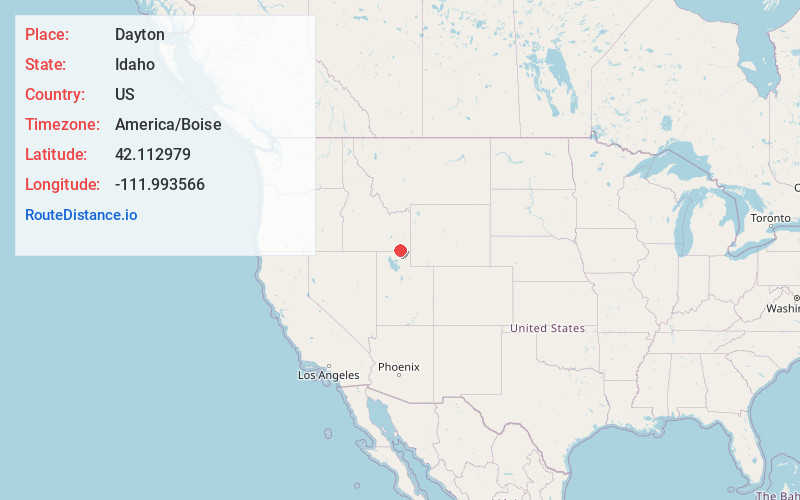
Full AddressDayton, ID
-
Coordinates42.1129787, -111.9935663
-
LocationDayton , Idaho , US
-
TimezoneAmerica/Boise
-
Current Local Time5:57:47 PM America/BoiseWednesday, May 21, 2025
-
Page Views0
About Dayton
Dayton is a city in Franklin County, Idaho, United States. The population was 510 at the 2020 census. It is part of the Logan, Utah-Idaho Metropolitan Statistical Area.


Nearby Places
Found 10 places within 50 miles

Weston
5.3 mi
8.5 km
Weston, ID 83286
Get directions

Clifton
5.4 mi
8.7 km
Clifton, ID 83228
Get directions

Preston
6.1 mi
9.8 km
Preston, ID 83263
Get directions

Franklin
11.8 mi
19.0 km
Franklin, ID
Get directions

Lewiston
11.8 mi
19.0 km
Lewiston, UT 84320
Get directions

Clarkston
13.6 mi
21.9 km
Clarkston, UT 84305
Get directions

Trenton
13.7 mi
22.0 km
Trenton, UT
Get directions

Malad City
14.3 mi
23.0 km
Malad City, ID 83252
Get directions

Richmond
16.1 mi
25.9 km
Richmond, UT 84333
Get directions
Newton
17.3 mi
27.8 km
Newton, UT
Get directions
Location Links
Local Weather
Weather Information
Coming soon!
Location Map
Static map view of Dayton, Idaho
Browse Places by Distance
Places within specific distances from Dayton
Short Distances
Long Distances
Click any distance to see all places within that range from Dayton. Distances shown in miles (1 mile ≈ 1.61 kilometers).