Distance to Dayton, Nevada

Calculating Your Route
Just a moment while we process your request...
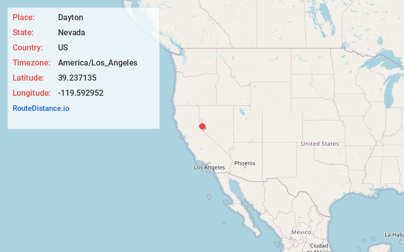
Location Information
-
Full AddressDayton, NV
-
Coordinates39.2371353, -119.5929521
-
LocationDayton , Nevada , US
-
TimezoneAmerica/Los_Angeles
-
Current Local Time3:35:57 PM America/Los_AngelesMonday, June 2, 2025
-
Page Views0
About Dayton
Dayton is an unincorporated community and census-designated place in Lyon County, Nevada, United States. The population was 15,153 at the 2020 census. Dayton is the second-oldest Nevada settlement, after Genoa, and is home to the oldest hotel in the state.


Nearby Places
Found 7 places within 50 miles

Carson City
10.6 mi
17.1 km
Carson City, NV
Get directions

Sparks
22.3 mi
35.9 km
Sparks, NV
Get directions

Reno
23.4 mi
37.7 km
Reno, NV
Get directions

Sun Valley
26.7 mi
43.0 km
Sun Valley, NV
Get directions

Spanish Springs
29.1 mi
46.8 km
Spanish Springs, NV
Get directions

Fernley
31.4 mi
50.5 km
Fernley, NV
Get directions

Truckee
32.2 mi
51.8 km
Truckee, CA 96161
Get directions
Location Links
Local Weather
Weather Information
Coming soon!
Location Map
Static map view of Dayton, Nevada
Browse Places by Distance
Places within specific distances from Dayton
Short Distances
Long Distances
Click any distance to see all places within that range from Dayton. Distances shown in miles (1 mile ≈ 1.61 kilometers).