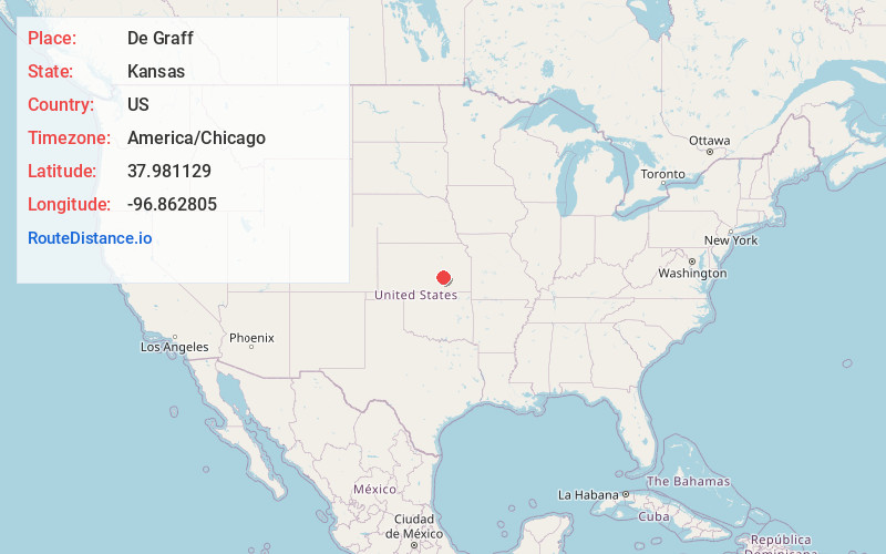
Distance to and from De Graff, Kansas
De Graff, Lincoln Township, KS 66840
Lincoln Township
Kansas
US
America/Chicago
Location Information
-
Full AddressDe Graff, Lincoln Township, KS 66840
-
Coordinates37.981129, -96.8628051
-
LocationLincoln Township , Kansas , US
-
TimezoneAmerica/Chicago
-
Current Local Time11:33:39 PM America/ChicagoMonday, May 5, 2025
-
Page Views0
Directions to Nearest Cities
About De Graff
De Graff is an unincorporated community in Butler County, Kansas, United States. It is located on U.S. Route 77, approximately 7.7 miles north of I-35
Nearby Places
Found 10 places within 50 miles

Hopkins
6.9 mi
11.1 km
Hopkins, Lincoln Township, KS 66840
Get directions
Chelsea
7.2 mi
11.6 km
Chelsea, KS 67042
Get directions
Burns
7.7 mi
12.4 km
Burns, KS 66840
Get directions

Potwin
9.0 mi
14.5 km
Potwin, KS 67123
Get directions
Aikman
9.9 mi
15.9 km
Aikman, KS 67042
Get directions

El Dorado
11.3 mi
18.2 km
El Dorado, KS 67042
Get directions
Summit Township
12.3 mi
19.8 km
Summit Township, KS
Get directions
Prospect
12.7 mi
20.4 km
Prospect, KS 67042
Get directions
Cassoday
12.8 mi
20.6 km
Cassoday, KS 66842
Get directions
Brainerd
12.8 mi
20.6 km
Brainerd, Milton Township, KS 67154
Get directions
Hopkins
6.9 mi
11.1 km
Hopkins, Lincoln Township, KS 66840
Chelsea
7.2 mi
11.6 km
Chelsea, KS 67042
Burns
7.7 mi
12.4 km
Burns, KS 66840
Potwin
9.0 mi
14.5 km
Potwin, KS 67123
Aikman
9.9 mi
15.9 km
Aikman, KS 67042
El Dorado
11.3 mi
18.2 km
El Dorado, KS 67042
Summit Township
12.3 mi
19.8 km
Summit Township, KS
Prospect
12.7 mi
20.4 km
Prospect, KS 67042
Cassoday
12.8 mi
20.6 km
Cassoday, KS 66842
Brainerd
12.8 mi
20.6 km
Brainerd, Milton Township, KS 67154
Location Links
Local Weather
Weather Information
Coming soon!
Location Map
Static map view of De Graff, Kansas
Browse Places by Distance
Places within specific distances from De Graff
Short Distances
Long Distances
Click any distance to see all places within that range from De Graff. Distances shown in miles (1 mile ≈ 1.61 kilometers).