Distance to De Lamar, Idaho

Calculating Your Route
Just a moment while we process your request...
Location Information
-
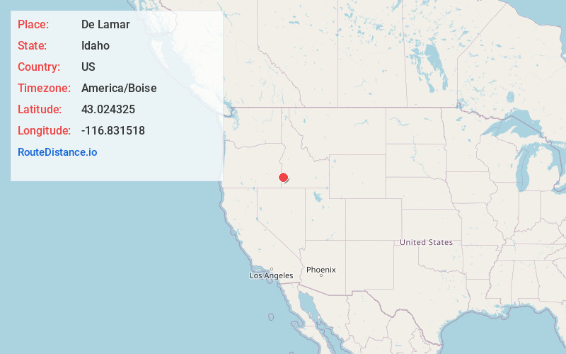
Full AddressDe Lamar, ID 97910
-
Coordinates43.0243249, -116.8315175
-
LocationDe Lamar , Idaho , US
-
TimezoneAmerica/Boise
-
Current Local Time7:03:39 AM America/BoiseSaturday, May 31, 2025
-
Page Views0
About De Lamar
De Lamar is a ghost town in Owyhee County, Idaho, United States. Its elevation is 5,463 ft, and it is approximately 6 mi west of Silver City. The community lies within an area governed by the Bureau of Land Management.
The community formed around the De Lamar Mine, which was established in 1888.
Nearby Places
Found 10 places within 50 miles

Jordan Valley
11.8 mi
19.0 km
Jordan Valley, OR 97910
Get directions

Murphy
19.4 mi
31.2 km
Murphy, ID 83650
Get directions

Melba
28.6 mi
46.0 km
Melba, ID 83641
Get directions

Marsing
36.0 mi
57.9 km
Marsing, ID 83639
Get directions

Grand View
37.4 mi
60.2 km
Grand View, ID 83624
Get directions

Kuna
38.4 mi
61.8 km
Kuna, ID
Get directions

Nampa
40.7 mi
65.5 km
Nampa, ID
Get directions

Homedale
41.3 mi
66.5 km
Homedale, ID 83628
Get directions
Greenleaf
44.7 mi
71.9 km
Greenleaf, ID 83626
Get directions

Caldwell
44.7 mi
71.9 km
Caldwell, ID
Get directions
Location Links
Local Weather
Weather Information
Coming soon!
Location Map
Static map view of De Lamar, Idaho
Browse Places by Distance
Places within specific distances from De Lamar
Short Distances
Long Distances
Click any distance to see all places within that range from De Lamar. Distances shown in miles (1 mile ≈ 1.61 kilometers).