Distance to and from De León Springs State Park, Florida
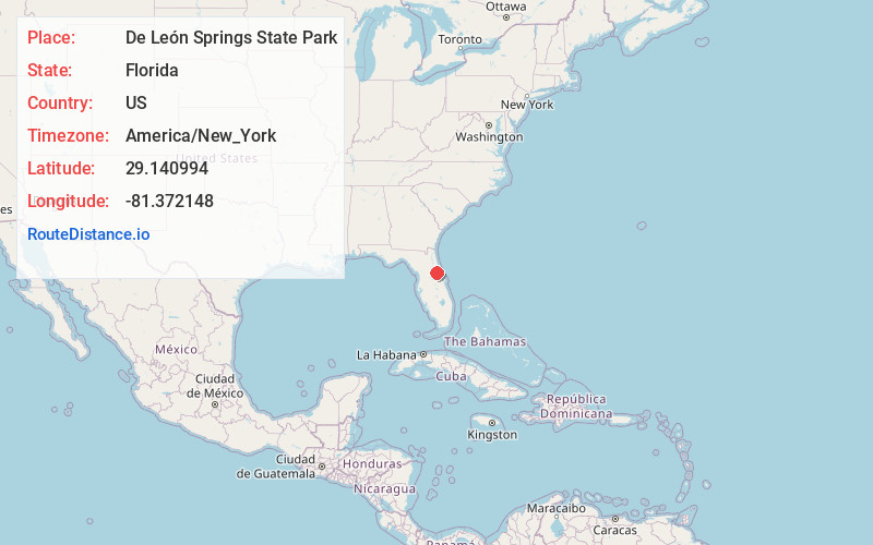
De León Springs State Park, 601 Ponce Deleon Blvd, De Leon Springs, FL 32130
De Leon Springs
Florida
US
America/New_York
Location Information
-
Full AddressDe León Springs State Park, 601 Ponce Deleon Blvd, De Leon Springs, FL 32130
-
Coordinates29.140994, -81.3721479
-
Street601 Ponce Deleon Blvd
-
LocationDe Leon Springs , Florida , US
-
TimezoneAmerica/New_York
-
Current Local Time4:58:37 PM America/New_YorkSaturday, May 3, 2025
-
Page Views0
Directions to Nearest Cities
About De León Springs State Park
Once home to the native Mayaca, later a winter resort, and now a state park for swimming & canoeing.


Nearby Places
Found 10 places within 50 miles

Conrad
1.4 mi
2.3 km
Conrad, FL 32130
Get directions

De Leon Springs
1.9 mi
3.1 km
De Leon Springs, FL
Get directions

Barberville
4.3 mi
6.9 km
Barberville, FL 32130
Get directions
Emporia
7.0 mi
11.3 km
Emporia, FL 32180
Get directions
Eldridge
7.1 mi
11.4 km
Eldridge, FL 32180
Get directions
Mosquito Grove
7.4 mi
11.9 km
Mosquito Grove, FL 32130
Get directions
North De Land
7.7 mi
12.4 km
North De Land, FL 32724
Get directions
St Francis
7.8 mi
12.6 km
St Francis, FL 32767
Get directions
Bluffton
7.9 mi
12.7 km
Bluffton, FL 32102
Get directions
Cypress Lake Estates
8.7 mi
14.0 km
Cypress Lake Estates, FL 32724
Get directions
Conrad
1.4 mi
2.3 km
Conrad, FL 32130
De Leon Springs
1.9 mi
3.1 km
De Leon Springs, FL
Barberville
4.3 mi
6.9 km
Barberville, FL 32130
Emporia
7.0 mi
11.3 km
Emporia, FL 32180
Eldridge
7.1 mi
11.4 km
Eldridge, FL 32180
Mosquito Grove
7.4 mi
11.9 km
Mosquito Grove, FL 32130
North De Land
7.7 mi
12.4 km
North De Land, FL 32724
St Francis
7.8 mi
12.6 km
St Francis, FL 32767
Bluffton
7.9 mi
12.7 km
Bluffton, FL 32102
Cypress Lake Estates
8.7 mi
14.0 km
Cypress Lake Estates, FL 32724
Location Links
Local Weather
Weather Information
Coming soon!
Location Map
Static map view of De León Springs State Park, Florida
Browse Places by Distance
Places within specific distances from De León Springs State Park
Short Distances
Long Distances
Click any distance to see all places within that range from De León Springs State Park. Distances shown in miles (1 mile ≈ 1.61 kilometers).