Distance to De Soto, Wisconsin

Calculating Your Route
Just a moment while we process your request...
Location Information
-
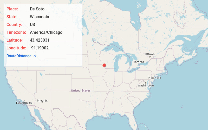
Full AddressDe Soto, WI 54624
-
Coordinates43.4230306, -91.1990204
-
LocationDe Soto , Wisconsin , US
-
TimezoneAmerica/Chicago
-
Current Local Time7:14:39 PM America/ChicagoMonday, June 2, 2025
-
Page Views0
About De Soto
De Soto is a village mostly in Vernon County but also in Crawford County in Wisconsin, United States. The population was 309 at the 2020 census, up from 287 at the 2010 census.


Nearby Places
Found 10 places within 50 miles

Lansing
4.4 mi
7.1 km
Lansing, IA 52151
Get directions

Stoddard
16.5 mi
26.6 km
Stoddard, WI 54658
Get directions

Waukon
17.5 mi
28.2 km
Waukon, IA 52172
Get directions

Viroqua
18.1 mi
29.1 km
Viroqua, WI 54665
Get directions

Brownsville
19.2 mi
30.9 km
Brownsville, MN
Get directions

Gays Mills
19.2 mi
30.9 km
Gays Mills, WI 54631
Get directions

Caledonia
20.9 mi
33.6 km
Caledonia, MN 55921
Get directions

Soldiers Grove
21.4 mi
34.4 km
Soldiers Grove, WI 54655
Get directions

Coon Valley
21.4 mi
34.4 km
Coon Valley, WI
Get directions

Westby
23.6 mi
38.0 km
Westby, WI 54667
Get directions
Location Links
Local Weather
Weather Information
Coming soon!
Location Map
Static map view of De Soto, Wisconsin
Browse Places by Distance
Places within specific distances from De Soto
Short Distances
Long Distances
Click any distance to see all places within that range from De Soto. Distances shown in miles (1 mile ≈ 1.61 kilometers).