Distance to Deatsville, Kentucky

Calculating Your Route
Just a moment while we process your request...
Location Information
-
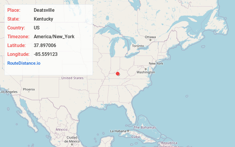
Full AddressDeatsville, KY 40013
-
Coordinates37.8970058, -85.5591229
-
LocationDeatsville , Kentucky , US
-
TimezoneAmerica/New_York
-
Current Local Time5:29:13 AM America/New_YorkSunday, June 1, 2025
-
Page Views0
Nearby Places
Found 10 places within 50 miles

Samuels
1.7 mi
2.7 km
Samuels, KY 40013
Get directions
Ridgetop
3.4 mi
5.5 km
Ridgetop, KY 40165
Get directions
Brownington
3.8 mi
6.1 km
Brownington, KY 40165
Get directions
Hunters
4.1 mi
6.6 km
Hunters, KY 40004
Get directions
Hobbs
4.2 mi
6.8 km
Hobbs, KY 40165
Get directions

Coxs Creek
4.7 mi
7.6 km
Coxs Creek, KY
Get directions
Scuffletown
5.2 mi
8.4 km
Scuffletown, KY 40165
Get directions
Bourbon Springs
5.2 mi
8.4 km
Bourbon Springs, KY 40004
Get directions
Solitude
5.4 mi
8.7 km
Solitude, KY 40165
Get directions
Nazareth
5.8 mi
9.3 km
Nazareth, KY 40048
Get directions
Location Links
Local Weather
Weather Information
Coming soon!
Location Map
Static map view of Deatsville, Kentucky
Browse Places by Distance
Places within specific distances from Deatsville
Short Distances
Long Distances
Click any distance to see all places within that range from Deatsville. Distances shown in miles (1 mile ≈ 1.61 kilometers).