Distance to and from Deenwood, Georgia
Deenwood, GA
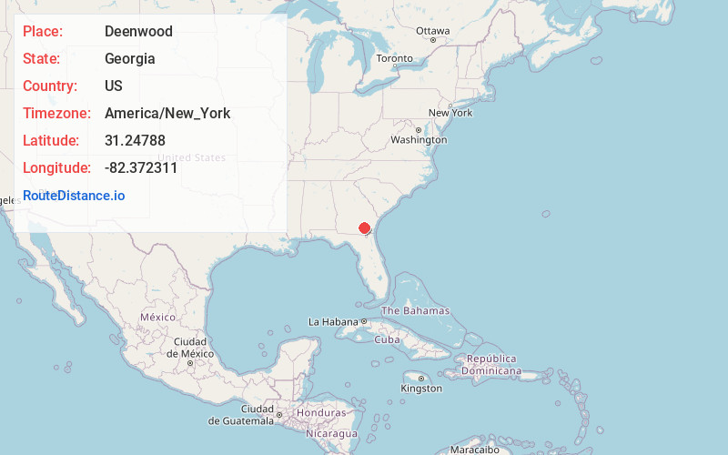
Deenwood
Georgia
US
America/New_York
Location Information
-
Full AddressDeenwood, GA
-
Coordinates31.24788, -82.3723105
-
LocationDeenwood , Georgia , US
-
TimezoneAmerica/New_York
-
Current Local Time7:54:25 PM America/New_YorkSaturday, May 3, 2025
-
Page Views0
Directions to Nearest Cities
About Deenwood
Deenwood is an unincorporated community and census-designated place in Ware County, Georgia, United States. The population was 2,207 at the 2020 census. It is part of the Waycross micropolitan statistical area. Deenwood Baptist Church is named after this geographical area.
Nearby Places
Found 10 places within 50 miles

Waycross
2.6 mi
4.2 km
Waycross, GA
Get directions

Blackshear
8.7 mi
14.0 km
Blackshear, GA 31516
Get directions

Alma
20.8 mi
33.5 km
Alma, GA 31510
Get directions

Nicholls
24.2 mi
38.9 km
Nicholls, GA 31554
Get directions

Douglas
33.4 mi
53.8 km
Douglas, GA
Get directions

Folkston
35.9 mi
57.8 km
Folkston, GA 31537
Get directions

Baxley
36.7 mi
59.1 km
Baxley, GA 31513
Get directions

Jesup
38.0 mi
61.2 km
Jesup, GA
Get directions

Lakeland
44.0 mi
70.8 km
Lakeland, GA 31635
Get directions

Hazlehurst
44.9 mi
72.3 km
Hazlehurst, GA 31539
Get directions
Waycross
2.6 mi
4.2 km
Waycross, GA
Blackshear
8.7 mi
14.0 km
Blackshear, GA 31516
Alma
20.8 mi
33.5 km
Alma, GA 31510
Nicholls
24.2 mi
38.9 km
Nicholls, GA 31554
Douglas
33.4 mi
53.8 km
Douglas, GA
Folkston
35.9 mi
57.8 km
Folkston, GA 31537
Baxley
36.7 mi
59.1 km
Baxley, GA 31513
Jesup
38.0 mi
61.2 km
Jesup, GA
Lakeland
44.0 mi
70.8 km
Lakeland, GA 31635
Hazlehurst
44.9 mi
72.3 km
Hazlehurst, GA 31539
Location Links
Local Weather
Weather Information
Coming soon!
Location Map
Static map view of Deenwood, Georgia
Browse Places by Distance
Places within specific distances from Deenwood
Short Distances
Long Distances
Click any distance to see all places within that range from Deenwood. Distances shown in miles (1 mile ≈ 1.61 kilometers).