Distance to Del Aire, California

Calculating Your Route
Just a moment while we process your request...
Location Information
-
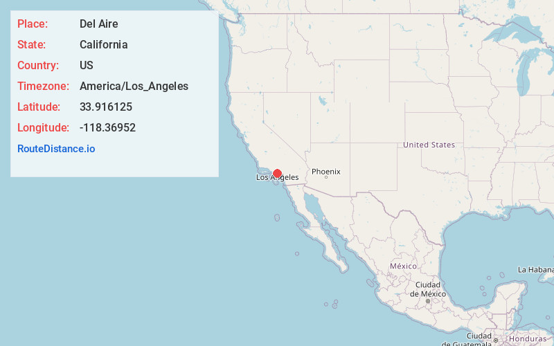
Full AddressDel Aire, CA
-
Coordinates33.9161251, -118.3695196
-
LocationDel Aire , California , US
-
TimezoneAmerica/Los_Angeles
-
Current Local Time2:23:28 PM America/Los_AngelesFriday, May 30, 2025
-
Page Views0
About Del Aire
Del Aire is an unincorporated community and census designated place in the inland South Bay, Los Angeles County, California, United States, between El Segundo and Hawthorne. The population was 10,338 at the 2020 census, up from 10,001 at the 2010 census.
Nearby Places
Found 10 places within 50 miles

Hawthorne
1.0 mi
1.6 km
Hawthorne, CA
Get directions

Lennox
1.8 mi
2.9 km
Lennox, CA 90304
Get directions

Lawndale
2.2 mi
3.5 km
Lawndale, CA
Get directions

El Segundo
2.7 mi
4.3 km
El Segundo, CA
Get directions

Inglewood
3.4 mi
5.5 km
Inglewood, CA
Get directions

Hermosa Beach
4.1 mi
6.6 km
Hermosa Beach, CA
Get directions

Gardena
4.1 mi
6.6 km
Gardena, CA
Get directions

Redondo Beach
4.8 mi
7.7 km
Redondo Beach, CA
Get directions

Torrance
5.7 mi
9.2 km
Torrance, CA
Get directions

Culver City
7.4 mi
11.9 km
Culver City, CA
Get directions
Location Links
Local Weather
Weather Information
Coming soon!
Location Map
Static map view of Del Aire, California
Browse Places by Distance
Places within specific distances from Del Aire
Short Distances
Long Distances
Click any distance to see all places within that range from Del Aire. Distances shown in miles (1 mile ≈ 1.61 kilometers).