Distance to Del Rey, California

Calculating Your Route
Just a moment while we process your request...
Location Information
-
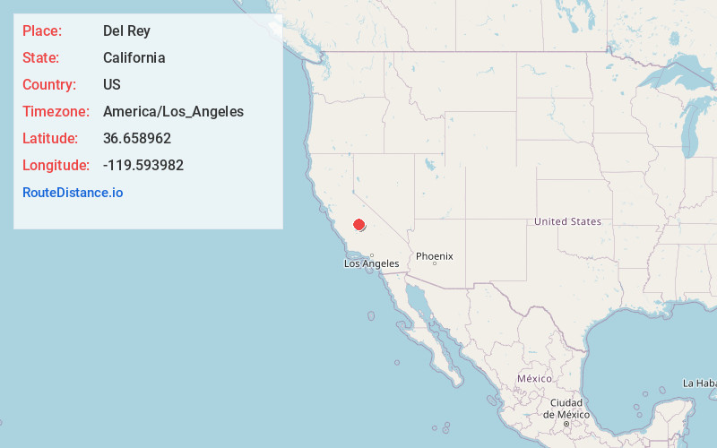
Full AddressDel Rey, CA 93616
-
Coordinates36.6589623, -119.5939822
-
LocationDel Rey , California , US
-
TimezoneAmerica/Los_Angeles
-
Current Local Time9:25:05 AM America/Los_AngelesSaturday, June 14, 2025
-
Page Views0
About Del Rey
Del Rey is a census-designated place in Fresno County, California, United States. The population was 1,639 at the 2010 census, up from 950 at the 2000 census. Del Rey is located 3.5 miles south-southwest of Sanger, at an elevation of 344.

Nearby Places
Found 10 places within 50 miles

Sanger
4.0 mi
6.4 km
Sanger, CA
Get directions

Parlier
4.9 mi
7.9 km
Parlier, CA 93648
Get directions

Fowler
5.1 mi
8.2 km
Fowler, CA 93625
Get directions

Selma
6.2 mi
10.0 km
Selma, CA
Get directions

Centerville
7.4 mi
11.9 km
Centerville, CA 93657
Get directions

Reedley
9.1 mi
14.6 km
Reedley, CA
Get directions

Kingsburg
10.3 mi
16.6 km
Kingsburg, CA
Get directions

Easton
10.9 mi
17.5 km
Easton, CA
Get directions

Tarpey Village
11.0 mi
17.7 km
Tarpey Village, CA
Get directions

Fresno
12.0 mi
19.3 km
Fresno, CA
Get directions
Location Links
Local Weather
Weather Information
Coming soon!
Location Map
Static map view of Del Rey, California
Browse Places by Distance
Places within specific distances from Del Rey
Short Distances
Long Distances
Click any distance to see all places within that range from Del Rey. Distances shown in miles (1 mile ≈ 1.61 kilometers).