Distance to Del Rio, Florida

Calculating Your Route
Just a moment while we process your request...
Location Information
-
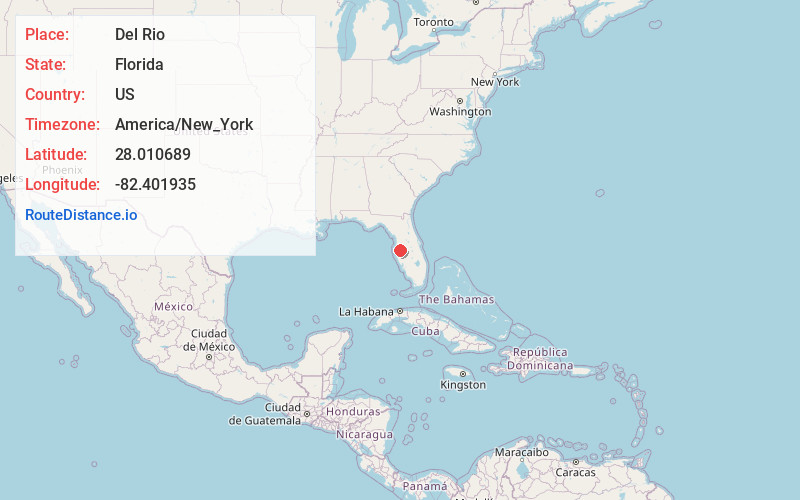
Full AddressDel Rio, FL
-
Coordinates28.010689, -82.401935
-
NeighborhoodDel Rio
-
LocationDel Rio , Florida , US
-
TimezoneAmerica/New_York
-
Current Local Time2:36:40 PM America/New_YorkWednesday, June 4, 2025
-
Page Views0
About Del Rio
Del Rio is an unincorporated, urban community in Hillsborough County, Florida, United States. It lies between Tampa and Temple Terrace, near the Hillsborough River.
The community is known as "The Fishbowl" to locals because many streets in the area are named for fish.
Nearby Places
Found 10 places within 50 miles

Temple Terrace
1.9 mi
3.1 km
Temple Terrace, FL
Get directions

Tampa
5.4 mi
8.7 km
Tampa, FL
Get directions

Egypt Lake-Leto
5.7 mi
9.2 km
Egypt Lake-Leto, FL 33614
Get directions

Lake Magdalene
6.1 mi
9.8 km
Lake Magdalene, FL
Get directions

Mango
6.2 mi
10.0 km
Mango, FL
Get directions

Palm River-Clair Mel
6.4 mi
10.3 km
Palm River-Clair Mel, FL
Get directions

Thonotosassa
7.0 mi
11.3 km
Thonotosassa, FL
Get directions

Greater Carrollwood
7.4 mi
11.9 km
Greater Carrollwood, FL
Get directions

Seffner
7.9 mi
12.7 km
Seffner, FL
Get directions

Progress Village
9.2 mi
14.8 km
Progress Village, FL
Get directions
Location Links
Local Weather
Weather Information
Coming soon!
Location Map
Static map view of Del Rio, Florida
Browse Places by Distance
Places within specific distances from Del Rio
Short Distances
Long Distances
Click any distance to see all places within that range from Del Rio. Distances shown in miles (1 mile ≈ 1.61 kilometers).