Distance to Del Valle, Texas

Calculating Your Route
Just a moment while we process your request...
Location Information
-
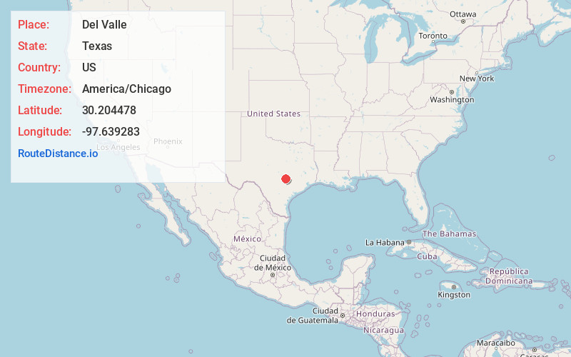
Full AddressDel Valle, Austin, TX
-
Coordinates30.2044784, -97.6392834
-
NeighborhoodDel Valle
-
LocationAustin , Texas , US
-
TimezoneAmerica/Chicago
-
Current Local Time1:40:47 AM America/ChicagoSunday, June 1, 2025
-
Page Views0
About Del Valle
Del Valle is an airport-defined edge city of Austin and part of the Greater Austin area. It was founded upon the 19th-century Santiago Del Valle leagues, the largest granted land parcel in Travis County.
It is an unincorporated area in southeastern Travis County, Texas, United States.


Nearby Places
Found 10 places within 50 miles

Moores Crossing
2.9 mi
4.7 km
Moores Crossing, TX 78719
Get directions

Garfield
5.0 mi
8.0 km
Garfield, TX
Get directions

Central Texas
5.8 mi
9.3 km
Central Texas, TX
Get directions

Austin
7.6 mi
12.2 km
Austin, TX
Get directions

Webberville
7.6 mi
12.2 km
Webberville, TX
Get directions
Bluff Springs
8.4 mi
13.5 km
Bluff Springs, TX 78744
Get directions
Creedmoor
9.7 mi
15.6 km
Creedmoor, TX
Get directions
Rollingwood
10.4 mi
16.7 km
Rollingwood, TX 78746
Get directions

Manor
10.6 mi
17.1 km
Manor, TX
Get directions

Sunset Valley
10.6 mi
17.1 km
Sunset Valley, TX
Get directions
Location Links
Local Weather
Weather Information
Coming soon!
Location Map
Static map view of Del Valle, Texas
Browse Places by Distance
Places within specific distances from Del Valle
Short Distances
Long Distances
Click any distance to see all places within that range from Del Valle. Distances shown in miles (1 mile ≈ 1.61 kilometers).