Distance to Delaware, Arkansas

Calculating Your Route
Just a moment while we process your request...
Location Information
-
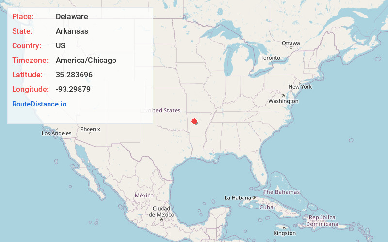
Full AddressDelaware, AR 72835
-
Coordinates35.2836963, -93.2987904
-
LocationDelaware , Arkansas , US
-
TimezoneAmerica/Chicago
-
Current Local Time9:57:55 PM America/ChicagoSunday, June 1, 2025
-
Page Views0
About Delaware
Delaware is an unincorporated community in Logan County, Arkansas, United States. Delaware is located on Lake Dardanelle at the junction of Arkansas highways 22 and 393, 9 miles northwest of Dardanelle. Delaware has a post office with ZIP code 72835.
Nearby Places
Found 10 places within 50 miles

Sills
1.3 mi
2.1 km
Sills, AR 72834
Get directions

London
4.2 mi
6.8 km
London, AR
Get directions

New Blaine
6.8 mi
10.9 km
New Blaine, AR
Get directions
Mosley
7.6 mi
12.2 km
Mosley, AR 72834
Get directions

Knoxville
7.7 mi
12.4 km
Knoxville, AR
Get directions

Chickalah
8.3 mi
13.4 km
Chickalah, AR 72834
Get directions

Hickeytown
8.4 mi
13.5 km
Hickeytown, AR 72847
Get directions

Dardanelle
9.0 mi
14.5 km
Dardanelle, AR 72834
Get directions

Russellville
9.3 mi
15.0 km
Russellville, AR
Get directions
Bernice
9.8 mi
15.8 km
Bernice, Russellville, AR 72802
Get directions
Location Links
Local Weather
Weather Information
Coming soon!
Location Map
Static map view of Delaware, Arkansas
Browse Places by Distance
Places within specific distances from Delaware
Short Distances
Long Distances
Click any distance to see all places within that range from Delaware. Distances shown in miles (1 mile ≈ 1.61 kilometers).