Distance to Delcambre, Louisiana

Calculating Your Route
Just a moment while we process your request...
Location Information
-
Full AddressDelcambre, LA
-
Coordinates29.948261, -91.9887327
-
LocationDelcambre , Louisiana , US
-
TimezoneAmerica/Chicago
-
Current Local Time8:59:50 AM America/ChicagoWednesday, June 18, 2025
-
Page Views0
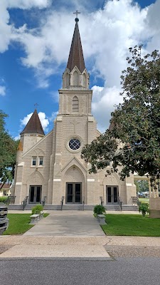
About Delcambre
Delcambre is a town in Iberia and Vermilion parishes in the U.S. state of Louisiana, located 9 miles east of Abbeville on Louisiana Highway 14 in the Cajun Heartland of Acadiana. Bayou Carlin, also known as the Delcambre Canal, passes through the town and is home for much of the local fishing industry.


Nearby Places
Found 10 places within 50 miles

Abbeville
8.9 mi
14.3 km
Abbeville, LA 70510
Get directions

Youngsville
10.5 mi
16.9 km
Youngsville, LA
Get directions

New Iberia
10.9 mi
17.5 km
New Iberia, LA
Get directions

Broussard
13.8 mi
22.2 km
Broussard, LA
Get directions

St Martinville
15.4 mi
24.8 km
St Martinville, LA 70582
Get directions

Kaplan
18.1 mi
29.1 km
Kaplan, LA 70548
Get directions

Lafayette
19.1 mi
30.7 km
Lafayette, LA
Get directions

Jeanerette
19.6 mi
31.5 km
Jeanerette, LA 70544
Get directions

Scott
20.8 mi
33.5 km
Scott, LA
Get directions

Breaux Bridge
23.1 mi
37.2 km
Breaux Bridge, LA 70517
Get directions
Location Links
Local Weather
Weather Information
Coming soon!
Location Map
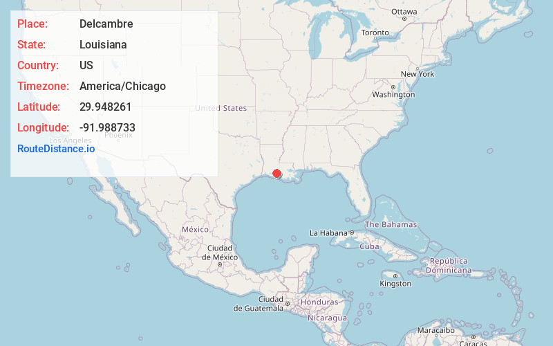
Static map view of Delcambre, Louisiana
Browse Places by Distance
Places within specific distances from Delcambre
Short Distances
Long Distances
Click any distance to see all places within that range from Delcambre. Distances shown in miles (1 mile ≈ 1.61 kilometers).