Distance to Delhi, Oklahoma

Calculating Your Route
Just a moment while we process your request...
Location Information
-
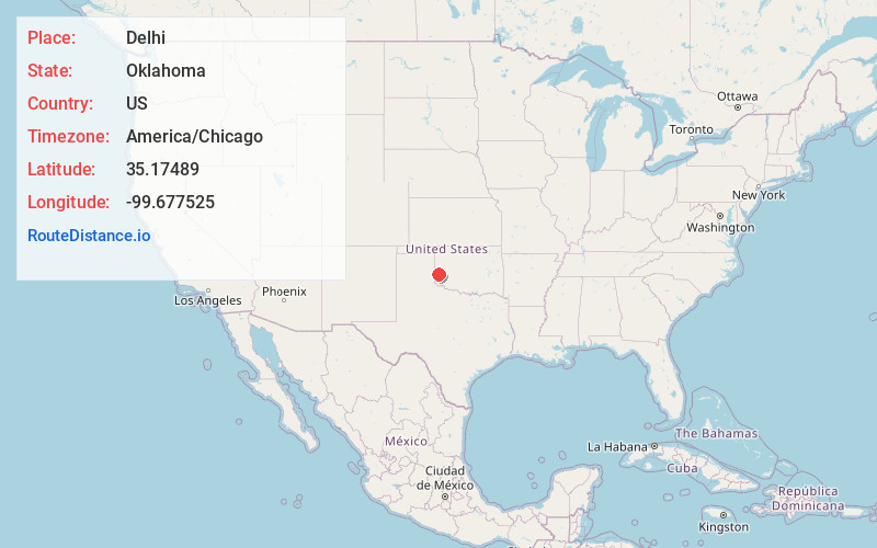
Full AddressDelhi, OK 73662
-
Coordinates35.1748896, -99.6775249
-
LocationDelhi , Oklahoma , US
-
TimezoneAmerica/Chicago
-
Current Local Time3:11:17 AM America/ChicagoSaturday, June 14, 2025
-
Page Views0
About Delhi
Delhi is an unincorporated community in Beckham County, Oklahoma, United States. Delhi is located west of U.S. Route 283 and 8.3 miles south-southwest of Sayre. The community is named for the city in India and first had a post office in 1893.

Nearby Places
Found 10 places within 50 miles

Hext
6.7 mi
10.8 km
Hext, OK 73645
Get directions

Sayre
8.3 mi
13.4 km
Sayre, OK 73662
Get directions

Carter
10.2 mi
16.4 km
Carter, OK 73627
Get directions

Moravia
10.2 mi
16.4 km
Moravia, OK 73627
Get directions

Erick
11.0 mi
17.7 km
Erick, OK 73645
Get directions
Jester
11.5 mi
18.5 km
Jester, OK 73554
Get directions
Doxey
11.6 mi
18.7 km
Doxey, OK 73662
Get directions
Bloomington
12.3 mi
19.8 km
Bloomington, OK 73673
Get directions

Willow
12.8 mi
20.6 km
Willow, OK 73673
Get directions
New Liberty
13.2 mi
21.2 km
New Liberty, OK 73662
Get directions
Location Links
Local Weather
Weather Information
Coming soon!
Location Map
Static map view of Delhi, Oklahoma
Browse Places by Distance
Places within specific distances from Delhi
Short Distances
Long Distances
Click any distance to see all places within that range from Delhi. Distances shown in miles (1 mile ≈ 1.61 kilometers).