Distance to Dellview, North Carolina

Calculating Your Route
Just a moment while we process your request...
Location Information
-
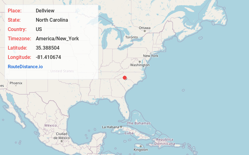
Full AddressDellview, NC 28021
-
Coordinates35.3885043, -81.4106738
-
LocationDellview , North Carolina , US
-
TimezoneAmerica/New_York
-
Current Local Time8:35:46 PM America/New_YorkTuesday, June 17, 2025
-
Page Views0
About Dellview
Dellview is an inactive incorporated town in Gaston County, North Carolina, United States. Its population was 13 at the 2010 census but dropped to 6 as of the 2020 census.
Dellview is located in the Muddy Fork watershed, a tributary of Buffalo Creek flowing to the Broad River in South Carolina.
Nearby Places
Found 10 places within 50 miles

Cherryville
1.9 mi
3.1 km
Cherryville, NC 28021
Get directions

Waco
2.1 mi
3.4 km
Waco, NC
Get directions

Fallston
5.8 mi
9.3 km
Fallston, NC
Get directions

Crouse
6.3 mi
10.1 km
Crouse, NC
Get directions
Light Oak
8.1 mi
13.0 km
Light Oak, NC
Get directions

Lawndale
8.8 mi
14.2 km
Lawndale, NC 28090
Get directions
Belwood
8.8 mi
14.2 km
Belwood, NC
Get directions

Shelby
9.7 mi
15.6 km
Shelby, NC
Get directions

Bessemer City
10.1 mi
16.3 km
Bessemer City, NC 28016
Get directions

Lincolnton
10.6 mi
17.1 km
Lincolnton, NC 28092
Get directions
Location Links
Local Weather
Weather Information
Coming soon!
Location Map
Static map view of Dellview, North Carolina
Browse Places by Distance
Places within specific distances from Dellview
Short Distances
Long Distances
Click any distance to see all places within that range from Dellview. Distances shown in miles (1 mile ≈ 1.61 kilometers).