Distance to Dellwood, Oregon

Calculating Your Route
Just a moment while we process your request...
Location Information
-
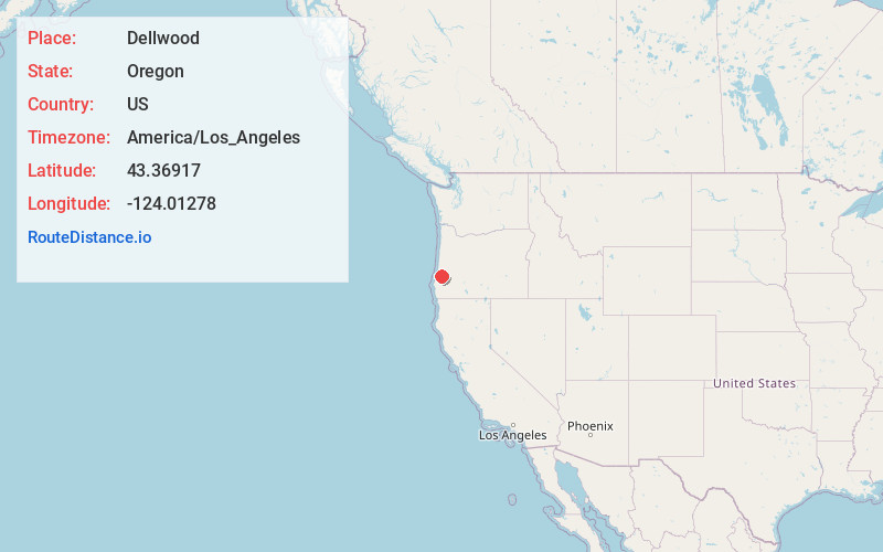
Full AddressDellwood, OR 97420
-
Coordinates43.3691699, -124.01278
-
LocationDellwood , Oregon , US
-
TimezoneAmerica/Los_Angeles
-
Current Local Time12:21:26 PM America/Los_AngelesThursday, July 3, 2025
-
Page Views0
About Dellwood
Dellwood is an unincorporated community in Coos County, Oregon, United States. It is about 12 miles east of Coos Bay, east of Oregon Route 241 on the South Fork Coos River.
Nearby Places
Found 10 places within 50 miles

Sumner
9.2 mi
14.8 km
Sumner, OR 97420
Get directions

Bunker Hill
9.7 mi
15.6 km
Bunker Hill, OR 97420
Get directions

Coos Bay
10.1 mi
16.3 km
Coos Bay, OR
Get directions
Glasgow
10.9 mi
17.5 km
Glasgow, OR 97459
Get directions

North Bend
10.9 mi
17.5 km
North Bend, OR 97459
Get directions
Southport Mine
11.5 mi
18.5 km
Southport Mine, Oregon 97420
Get directions
Shorewood
11.9 mi
19.2 km
Shorewood, OR 97459
Get directions
Green Acres
12.4 mi
20.0 km
Green Acres, OR 97420
Get directions
McKinley
12.5 mi
20.1 km
McKinley, OR 97458
Get directions
Templeton
13.0 mi
20.9 km
Templeton, OR 97449
Get directions
Location Links
Local Weather
Weather Information
Coming soon!
Location Map
Static map view of Dellwood, Oregon
Browse Places by Distance
Places within specific distances from Dellwood
Short Distances
Long Distances
Click any distance to see all places within that range from Dellwood. Distances shown in miles (1 mile ≈ 1.61 kilometers).