Distance to Dempseytown, Pennsylvania

Calculating Your Route
Just a moment while we process your request...
Location Information
-
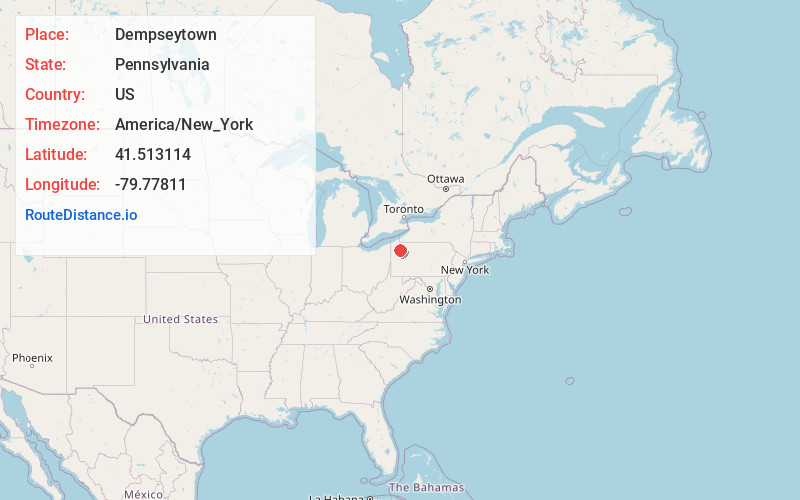
Full AddressDempseytown, Oakland Township, PA 16317
-
Coordinates41.5131135, -79.7781104
-
LocationOakland Township , Pennsylvania , US
-
TimezoneAmerica/New_York
-
Current Local Time1:09:25 AM America/New_YorkMonday, June 30, 2025
-
Page Views0
About Dempseytown
Dempseytown is an unincorporated community located in the Oakland Township, Venango County, Pennsylvania at the intersection of Pennsylvania Route 428 and 417. The town was named after its first settlers, the Dempsey family, who built their home in the 1800s. There are no stop lights in Dempseytown.
Nearby Places
Found 10 places within 50 miles

Cherrytree
3.4 mi
5.5 km
Cherrytree, PA 16354
Get directions
Mason
4.5 mi
7.2 km
Mason, Jackson Township, PA 16323
Get directions
Cooperstown
4.9 mi
7.9 km
Cooperstown, PA 16317
Get directions
Bradleytown
5.2 mi
8.4 km
Bradleytown, Plum Township, PA 16317
Get directions
Rouseville
5.4 mi
8.7 km
Rouseville, PA
Get directions
Pioneer
6.0 mi
9.7 km
Pioneer, Cherrytree Township, PA 16354
Get directions
Owltown
6.6 mi
10.6 km
Owltown, Cornplanter Township, PA 16301
Get directions
Diamond
6.6 mi
10.6 km
Diamond, Plum Township, PA 16354
Get directions

Oil City
6.6 mi
10.6 km
Oil City, PA 16301
Get directions
Hasson Heights
6.9 mi
11.1 km
Hasson Heights, PA 16301
Get directions
Location Links
Local Weather
Weather Information
Coming soon!
Location Map
Static map view of Dempseytown, Pennsylvania
Browse Places by Distance
Places within specific distances from Dempseytown
Short Distances
Long Distances
Click any distance to see all places within that range from Dempseytown. Distances shown in miles (1 mile ≈ 1.61 kilometers).