Distance to Denair, California

Calculating Your Route
Just a moment while we process your request...
Location Information
-
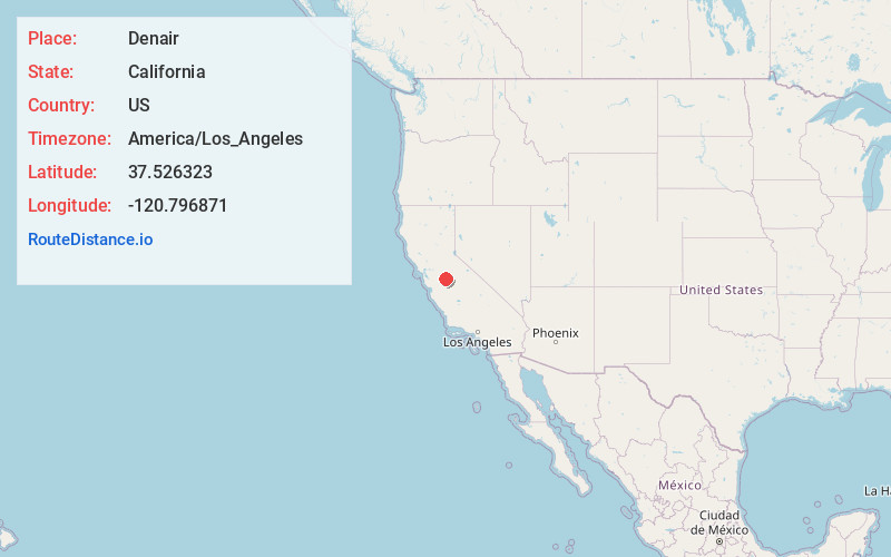
Full AddressDenair, CA 95316
-
Coordinates37.526323, -120.7968711
-
LocationDenair , California , US
-
TimezoneAmerica/Los_Angeles
-
Current Local Time9:02:26 AM America/Los_AngelesThursday, June 5, 2025
-
Page Views0
About Denair
Denair is a census-designated place in Stanislaus County, California, United States. The population was 4,404 at the 2010 census, up from 3,446 at the 2000 census. It is part of the Modesto Metropolitan Statistical Area.

Nearby Places
Found 10 places within 50 miles

Turlock
3.5 mi
5.6 km
Turlock, CA
Get directions

Hughson
6.4 mi
10.3 km
Hughson, CA 95326
Get directions

Delhi
6.6 mi
10.6 km
Delhi, CA 95315
Get directions

Keyes
6.8 mi
10.9 km
Keyes, CA
Get directions

Waterford
8.1 mi
13.0 km
Waterford, CA
Get directions

Hilmar
8.9 mi
14.3 km
Hilmar, CA 95324
Get directions

Ceres
10.0 mi
16.1 km
Ceres, CA
Get directions

Livingston
10.4 mi
16.7 km
Livingston, CA 95334
Get directions

Bret Harte
12.4 mi
20.0 km
Bret Harte, CA 95358
Get directions

Modesto
13.5 mi
21.7 km
Modesto, CA
Get directions
Location Links
Local Weather
Weather Information
Coming soon!
Location Map
Static map view of Denair, California
Browse Places by Distance
Places within specific distances from Denair
Short Distances
Long Distances
Click any distance to see all places within that range from Denair. Distances shown in miles (1 mile ≈ 1.61 kilometers).