Distance to Denison, Kansas

Calculating Your Route
Just a moment while we process your request...
Location Information
-
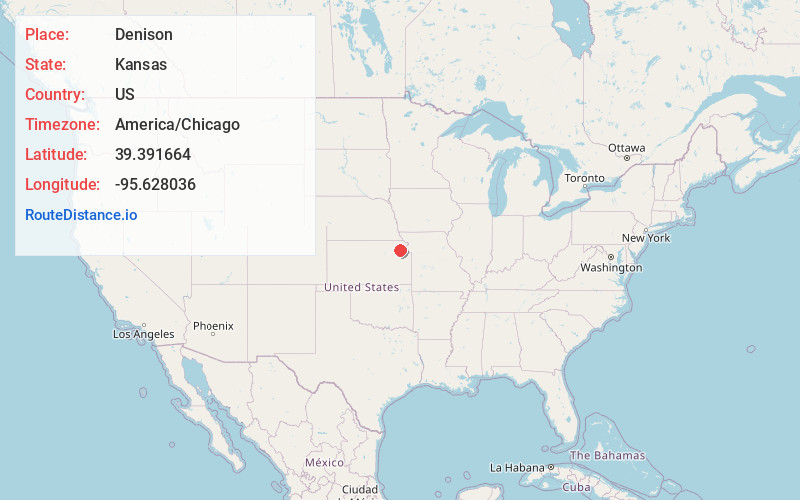
Full AddressDenison, KS 66419
-
Coordinates39.3916635, -95.6280357
-
LocationDenison , Kansas , US
-
TimezoneAmerica/Chicago
-
Current Local Time9:24:59 AM America/ChicagoSaturday, May 31, 2025
-
Page Views0
About Denison
Denison is a city in Jackson County, Kansas, United States. As of the 2020 census, the population of the city was 146.
Nearby Places
Found 10 places within 50 miles

Mayetta
6.2 mi
10.0 km
Mayetta, KS 66509
Get directions

Valley Falls
9.6 mi
15.4 km
Valley Falls, KS 66088
Get directions
Hoyt
10.8 mi
17.4 km
Hoyt, KS 66440
Get directions
Whiting
13.7 mi
22.0 km
Whiting, KS 66552
Get directions

Ozawkie
13.9 mi
22.4 km
Ozawkie, KS
Get directions
Meriden
14.4 mi
23.2 km
Meriden, KS 66512
Get directions
Effingham
15.1 mi
24.3 km
Effingham, KS
Get directions
Netawaka
15.4 mi
24.8 km
Netawaka, KS 66516
Get directions

Nortonville
15.8 mi
25.4 km
Nortonville, KS 66060
Get directions
Wetmore
19.3 mi
31.1 km
Wetmore, KS 66550
Get directions
Location Links
Local Weather
Weather Information
Coming soon!
Location Map
Static map view of Denison, Kansas
Browse Places by Distance
Places within specific distances from Denison
Short Distances
Long Distances
Click any distance to see all places within that range from Denison. Distances shown in miles (1 mile ≈ 1.61 kilometers).