Distance to Denmark, Kansas

Calculating Your Route
Just a moment while we process your request...
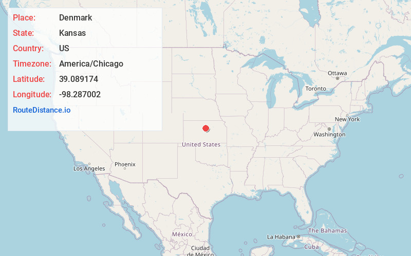
Location Information
-
Full AddressDenmark, Grant Township, KS 67455
-
Coordinates39.0891744, -98.2870015
-
LocationGrant Township , Kansas , US
-
TimezoneAmerica/Chicago
-
Current Local Time8:13:07 PM America/ChicagoWednesday, June 18, 2025
-
Page Views0
About Denmark
Denmark is an unincorporated community in Lincoln County, Kansas, United States. It is northwest of Lincoln, and located three miles north of K-18.
Nearby Places
Found 10 places within 50 miles

Goldenrod
3.0 mi
4.8 km
Goldenrod, Marion Township, KS 67455
Get directions
Vesper
4.0 mi
6.4 km
Vesper, KS 67455
Get directions

Sylvan Grove
8.0 mi
12.9 km
Sylvan Grove, KS 67481
Get directions

Lincoln
8.2 mi
13.2 km
Lincoln, KS 67455
Get directions
Wolf Creek
10.9 mi
17.5 km
Wolf Creek, KS 67481
Get directions
Victor
11.0 mi
17.7 km
Victor, Blue Hill Township, KS 67420
Get directions
Quartzite
11.3 mi
18.2 km
Quartzite, Elkhorn Township, KS 67455
Get directions

Hunter
11.6 mi
18.7 km
Hunter, KS 67452
Get directions

Lucas
13.6 mi
21.9 km
Lucas, KS 67648
Get directions
Barnard
14.9 mi
24.0 km
Barnard, KS 67418
Get directions
Location Links
Local Weather
Weather Information
Coming soon!
Location Map
Static map view of Denmark, Kansas
Browse Places by Distance
Places within specific distances from Denmark
Short Distances
Long Distances
Click any distance to see all places within that range from Denmark. Distances shown in miles (1 mile ≈ 1.61 kilometers).