Distance to Dennis, Massachusetts

Calculating Your Route
Just a moment while we process your request...
Location Information
-
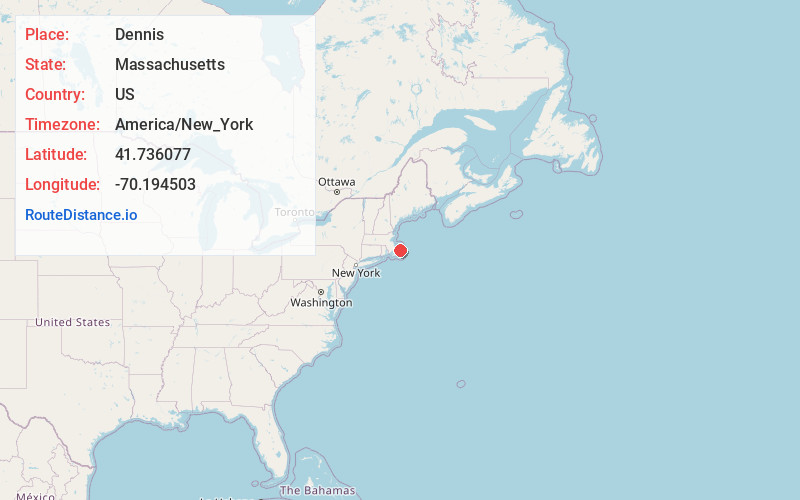
Full AddressDennis, MA
-
Coordinates41.7360766, -70.1945025
-
LocationDennis , Massachusetts , US
-
TimezoneAmerica/New_York
-
Current Local Time11:57:28 AM America/New_YorkThursday, June 19, 2025
-
Website
-
Page Views0
About Dennis
Dennis is a town in Barnstable County, Massachusetts, United States, located near the center of the Cape Cod peninsula. It is a seaside resort town with colonial mansions along the northern Cape Cod Bay coastline and beaches along the southern Nantucket Sound. As of the 2020 census, its population was 14,674.


Nearby Places
Found 10 places within 50 miles

Yarmouth
5.3 mi
8.5 km
Yarmouth, MA
Get directions

Barnstable
6.9 mi
11.1 km
Barnstable, MA
Get directions

Sandwich
15.8 mi
25.4 km
Sandwich, MA
Get directions

Mashpee
16.0 mi
25.7 km
Mashpee, MA
Get directions

Bourne
21.1 mi
34.0 km
Bourne, MA
Get directions

Falmouth
25.1 mi
40.4 km
Falmouth, MA
Get directions

Wareham
27.2 mi
43.8 km
Wareham, MA
Get directions

Plymouth
28.8 mi
46.3 km
Plymouth, MA
Get directions

Duxbury
32.3 mi
52.0 km
Duxbury, MA
Get directions

Fairhaven
36.0 mi
57.9 km
Fairhaven, MA 02719
Get directions
Location Links
Local Weather
Weather Information
Coming soon!
Location Map
Static map view of Dennis, Massachusetts
Browse Places by Distance
Places within specific distances from Dennis
Short Distances
Long Distances
Click any distance to see all places within that range from Dennis. Distances shown in miles (1 mile ≈ 1.61 kilometers).