Distance to and from Dennisville, New Jersey
Dennisville, Dennis, NJ 08270
Dennis
New Jersey
US
America/New_York
Location Information
-
Full AddressDennisville, Dennis, NJ 08270
-
Coordinates39.1922904, -74.8222004
-
NeighborhoodDennisville
-
LocationDennis , New Jersey , US
-
TimezoneAmerica/New_York
-
Current Local Time3:37:46 PM America/New_YorkSaturday, May 3, 2025
-
Page Views0
Directions to Nearest Cities
About Dennisville
Dennisville is an unincorporated community and census-designated place located within Dennis Township, in Cape May County, in the U.S. state of New Jersey. It is part of the Ocean City Metropolitan Statistical Area. Its postal ZIP Code is 08214.


Nearby Places
Found 10 places within 50 miles

Woodbine
3.4 mi
5.5 km
Woodbine, NJ 08270
Get directions

Dennis
4.3 mi
6.9 km
Dennis, NJ
Get directions

Upper Township
6.4 mi
10.3 km
Upper Township, NJ
Get directions

Middle Township
7.2 mi
11.6 km
Middle Township, NJ
Get directions

Sea Isle City
7.5 mi
12.1 km
Sea Isle City, NJ 08243
Get directions

Avalon
8.3 mi
13.4 km
Avalon, NJ 08202
Get directions

Maurice River
9.9 mi
15.9 km
Maurice River, NJ
Get directions

Stone Harbor
10.1 mi
16.3 km
Stone Harbor, NJ 08247
Get directions

Commercial Township
11.6 mi
18.7 km
Commercial Township, NJ
Get directions

Estell Manor
13.0 mi
20.9 km
Estell Manor, NJ
Get directions
Woodbine
3.4 mi
5.5 km
Woodbine, NJ 08270
Dennis
4.3 mi
6.9 km
Dennis, NJ
Upper Township
6.4 mi
10.3 km
Upper Township, NJ
Middle Township
7.2 mi
11.6 km
Middle Township, NJ
Sea Isle City
7.5 mi
12.1 km
Sea Isle City, NJ 08243
Avalon
8.3 mi
13.4 km
Avalon, NJ 08202
Maurice River
9.9 mi
15.9 km
Maurice River, NJ
Stone Harbor
10.1 mi
16.3 km
Stone Harbor, NJ 08247
Commercial Township
11.6 mi
18.7 km
Commercial Township, NJ
Estell Manor
13.0 mi
20.9 km
Estell Manor, NJ
Location Links
Local Weather
Weather Information
Coming soon!
Location Map
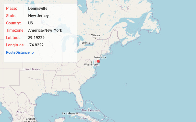
Static map view of Dennisville, New Jersey
Browse Places by Distance
Places within specific distances from Dennisville
Short Distances
Long Distances
Click any distance to see all places within that range from Dennisville. Distances shown in miles (1 mile ≈ 1.61 kilometers).