Distance to Denton, Kentucky

Calculating Your Route
Just a moment while we process your request...
Location Information
-
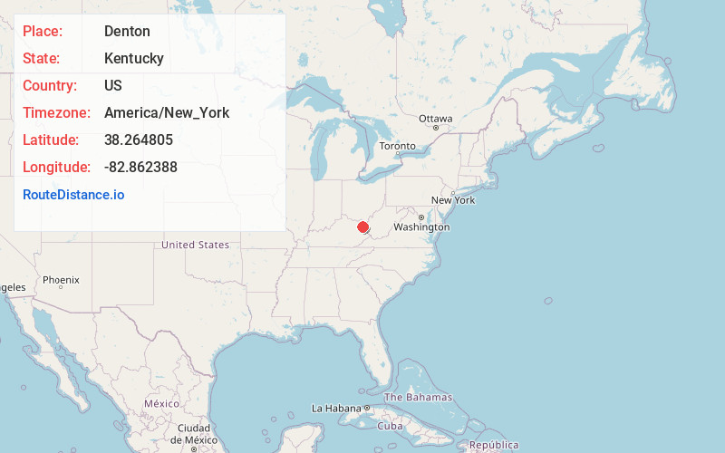
Full AddressDenton, KY 41132
-
Coordinates38.2648047, -82.8623877
-
LocationDenton , Kentucky , US
-
TimezoneAmerica/New_York
-
Current Local Time4:50:20 PM America/New_YorkTuesday, July 1, 2025
-
Page Views0
About Denton
Denton is an unincorporated community near Grayson in Carter County, Kentucky, United States. The community's postal zip code is 41132. A post office existed here from 1881 until 2004 when it was closed and mail service was transferred to nearby Hitchins although the community retained its zip code.
Nearby Places
Found 10 places within 50 miles

Mt Savage
1.6 mi
2.6 km
Mt Savage, KY 41146
Get directions
Gollihue
1.8 mi
2.9 km
Gollihue, KY 41143
Get directions
Reedville
2.8 mi
4.5 km
Reedville, KY 41143
Get directions
Johns Run
3.2 mi
5.1 km
Johns Run, KY 41143
Get directions
Stinson
3.2 mi
5.1 km
Stinson, KY 41143
Get directions
Jeriel
3.3 mi
5.3 km
Jeriel, KY 41143
Get directions
Hitchins
3.3 mi
5.3 km
Hitchins, KY 41143
Get directions
Fairview Hill
3.4 mi
5.5 km
Fairview Hill, KY 41143
Get directions
Music
3.6 mi
5.8 km
Music, KY 41143
Get directions
Willard
4.1 mi
6.6 km
Willard, KY 41143
Get directions
Location Links
Local Weather
Weather Information
Coming soon!
Location Map
Static map view of Denton, Kentucky
Browse Places by Distance
Places within specific distances from Denton
Short Distances
Long Distances
Click any distance to see all places within that range from Denton. Distances shown in miles (1 mile ≈ 1.61 kilometers).