Distance to Denton, Tennessee

Calculating Your Route
Just a moment while we process your request...
Location Information
-
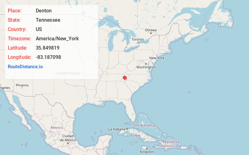
Full AddressDenton, TN 37722
-
Coordinates35.8498193, -83.1870981
-
LocationTennessee , US
-
TimezoneAmerica/New_York
-
Current Local Time4:57:07 PM America/New_YorkWednesday, June 18, 2025
-
Page Views0
Nearby Places
Found 10 places within 50 miles

Licklog
1.7 mi
2.7 km
Licklog, TN 37821
Get directions
Padgett Mill
2.2 mi
3.5 km
Padgett Mill, TN 37722
Get directions
Bluffton
2.8 mi
4.5 km
Bluffton, TN 37722
Get directions
Finney Patch
3.0 mi
4.8 km
Finney Patch, TN 37753
Get directions
Catons Grove
4.1 mi
6.6 km
Catons Grove, TN 37722
Get directions
English Creek
4.1 mi
6.6 km
English Creek, TN 37821
Get directions

Cosby
4.1 mi
6.6 km
Cosby, TN 37722
Get directions
Long Branch
5.4 mi
8.7 km
Long Branch, Tennessee 37727
Get directions
Castle Heights
7.3 mi
11.7 km
Castle Heights, TN 37821
Get directions
Irish Cut
7.7 mi
12.4 km
Irish Cut, TN 37821
Get directions
Location Links
Local Weather
Weather Information
Coming soon!
Location Map
Static map view of Denton, Tennessee
Browse Places by Distance
Places within specific distances from Denton
Short Distances
Long Distances
Click any distance to see all places within that range from Denton. Distances shown in miles (1 mile ≈ 1.61 kilometers).