Distance to Denzer, Wisconsin

Calculating Your Route
Just a moment while we process your request...
Location Information
-
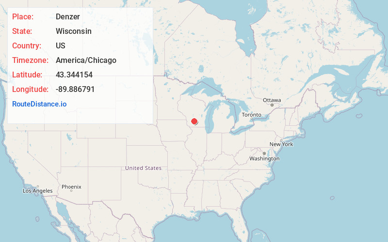
Full AddressDenzer, Honey Creek, WI 53951
-
Coordinates43.3441536, -89.8867908
-
LocationHoney Creek , Wisconsin , US
-
TimezoneAmerica/Chicago
-
Current Local Time2:15:00 PM America/ChicagoTuesday, June 24, 2025
-
Page Views0
About Denzer
Denzer is an unincorporated community in the town of Honey Creek, Sauk County, Wisconsin, United States. Denzer is located on County Highway C east of Natural Bridge State Park, 9 miles west-northwest of Prairie du Sac.
Nearby Places
Found 10 places within 50 miles

Leland
3.1 mi
5.0 km
Leland, Honey Creek, WI 53577
Get directions
Witwen
4.1 mi
6.6 km
Witwen, WI 53583
Get directions
Bluffview
6.0 mi
9.7 km
Bluffview, WI 53951
Get directions
Larue
6.4 mi
10.3 km
Larue, Freedom, WI 53951
Get directions
Loddes Mill
7.0 mi
11.3 km
Loddes Mill, Prairie Du Sac, WI 53583
Get directions

North Freedom
8.0 mi
12.9 km
North Freedom, WI 53951
Get directions
Pine Creek
8.3 mi
13.4 km
Pine Creek, Baraboo, WI
Get directions

Prairie du Sac
9.1 mi
14.6 km
Prairie du Sac, WI
Get directions

Plain
9.1 mi
14.6 km
Plain, WI
Get directions
Rock Springs
9.5 mi
15.3 km
Rock Springs, WI 53961
Get directions
Location Links
Local Weather
Weather Information
Coming soon!
Location Map
Static map view of Denzer, Wisconsin
Browse Places by Distance
Places within specific distances from Denzer
Short Distances
Long Distances
Click any distance to see all places within that range from Denzer. Distances shown in miles (1 mile ≈ 1.61 kilometers).