Distance to Derby, Colorado

Calculating Your Route
Just a moment while we process your request...
Location Information
-
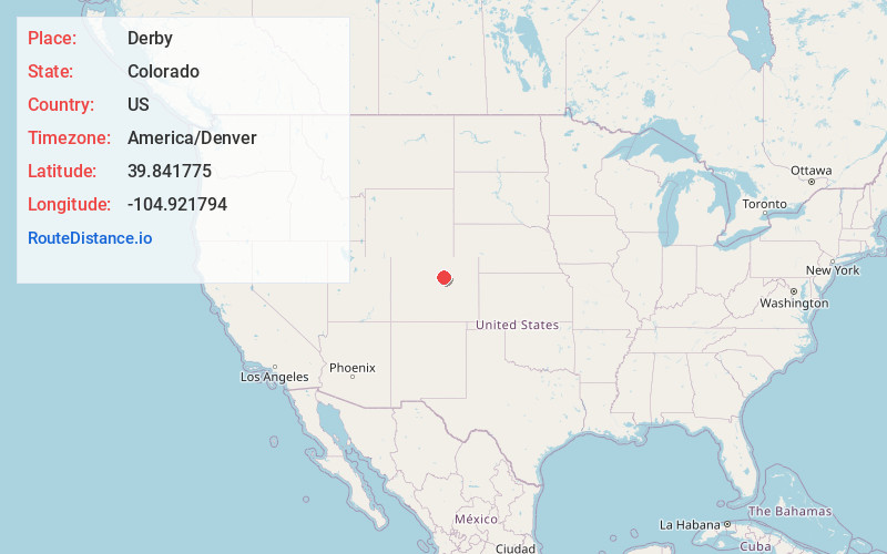
Full AddressDerby, CO 80022
-
Coordinates39.8417751, -104.9217936
-
LocationDerby , Colorado , US
-
TimezoneAmerica/Denver
-
Current Local Time11:31:38 AM America/DenverFriday, June 6, 2025
-
Page Views0
About Derby
Derby is an unincorporated community and a census-designated place located in and governed by Adams County, Colorado, United States. The CDP is a part of the Denver–Aurora–Lakewood, CO Metropolitan Statistical Area. The population of the Derby CDP was 8,407 at the United States Census 2020.

Nearby Places
Found 10 places within 50 miles

Welby
2.0 mi
3.2 km
Welby, CO
Get directions

Commerce City
2.4 mi
3.9 km
Commerce City, CO
Get directions

Thornton
3.2 mi
5.1 km
Thornton, CO
Get directions

Sherrelwood
4.2 mi
6.8 km
Sherrelwood, CO
Get directions

Northglenn
4.9 mi
7.9 km
Northglenn, CO
Get directions

Federal Heights
5.2 mi
8.4 km
Federal Heights, CO
Get directions
Berkley
5.8 mi
9.3 km
Berkley, CO
Get directions

Westminster
6.1 mi
9.8 km
Westminster, CO
Get directions

Denver
8.0 mi
12.9 km
Denver, CO
Get directions

Aurora
9.1 mi
14.6 km
Aurora, CO
Get directions
Location Links
Local Weather
Weather Information
Coming soon!
Location Map
Static map view of Derby, Colorado
Browse Places by Distance
Places within specific distances from Derby
Short Distances
Long Distances
Click any distance to see all places within that range from Derby. Distances shown in miles (1 mile ≈ 1.61 kilometers).