Distance to Derby, Illinois

Calculating Your Route
Just a moment while we process your request...
Location Information
-
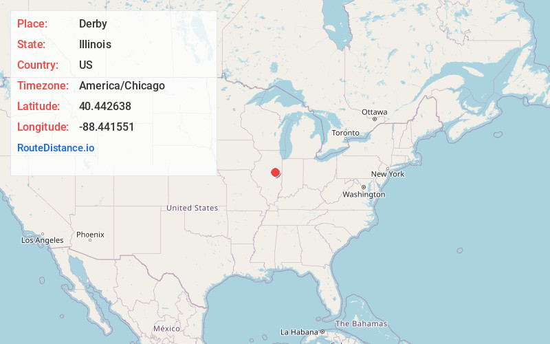
Full AddressDerby, IL 60936
-
Coordinates40.442638, -88.441551
-
LocationDerby , Illinois , US
-
TimezoneAmerica/Chicago
-
Current Local Time11:18:49 PM America/ChicagoThursday, June 19, 2025
-
Page Views0
About Derby
Derby is an unincorporated community in Ford County, Illinois, United States. Derby is located southwest of Gibson City, and its zip code, 60936, is associated with Gibson City.
Nearby Places
Found 10 places within 50 miles

Gibson City
3.8 mi
6.1 km
Gibson City, IL 60936
Get directions

Saybrook
4.6 mi
7.4 km
Saybrook, IL 61770
Get directions

Foosland
5.7 mi
9.2 km
Foosland, IL 61845
Get directions

Bellflower
8.4 mi
13.5 km
Bellflower, IL 61724
Get directions
Dickerson
8.6 mi
13.8 km
Dickerson, Brown Township, IL 61843
Get directions
Elliott
9.0 mi
14.5 km
Elliott, IL
Get directions
Laurette
9.7 mi
15.6 km
Laurette, Bellflower Township, IL 61724
Get directions

Anchor
10.0 mi
16.1 km
Anchor, IL 61720
Get directions
Arrowsmith
10.0 mi
16.1 km
Arrowsmith, IL 61722
Get directions

Fisher
10.1 mi
16.3 km
Fisher, IL 61843
Get directions
Location Links
Local Weather
Weather Information
Coming soon!
Location Map
Static map view of Derby, Illinois
Browse Places by Distance
Places within specific distances from Derby
Short Distances
Long Distances
Click any distance to see all places within that range from Derby. Distances shown in miles (1 mile ≈ 1.61 kilometers).