Distance to Derby, Connecticut

Calculating Your Route
Just a moment while we process your request...
Location Information
-
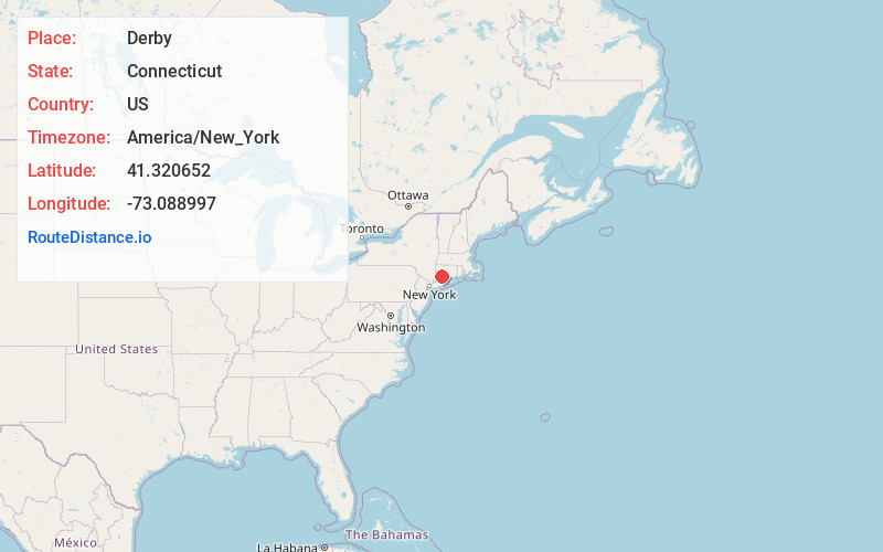
Full AddressDerby, CT
-
Coordinates41.3206523, -73.0889973
-
LocationDerby , Connecticut , US
-
TimezoneAmerica/New_York
-
Current Local Time7:06:51 AM America/New_YorkSaturday, June 21, 2025
-
Website
-
Page Views0
About Derby
Derby is a city in New Haven County, Connecticut, United States, approximately 8 miles west-northwest of New Haven. It is located in southwest Connecticut at the confluence of the Housatonic and Naugatuck rivers.


Nearby Places
Found 10 places within 50 miles

Shelton
0.4 mi
0.6 km
Shelton, CT 06484
Get directions

Ansonia
1.8 mi
2.9 km
Ansonia, CT
Get directions

Milford
6.3 mi
10.1 km
Milford, CT
Get directions

West Haven
8.0 mi
12.9 km
West Haven, CT 06516
Get directions

New Haven
8.4 mi
13.5 km
New Haven, CT
Get directions

Bridgeport
11.1 mi
17.9 km
Bridgeport, CT
Get directions

Naugatuck
11.6 mi
18.7 km
Naugatuck, CT
Get directions

Waterbury
16.5 mi
26.6 km
Waterbury, CT
Get directions

Danbury
19.6 mi
31.5 km
Danbury, CT
Get directions

Meriden
21.0 mi
33.8 km
Meriden, CT
Get directions
Location Links
Local Weather
Weather Information
Coming soon!
Location Map
Static map view of Derby, Connecticut
Browse Places by Distance
Places within specific distances from Derby
Short Distances
Long Distances
Click any distance to see all places within that range from Derby. Distances shown in miles (1 mile ≈ 1.61 kilometers).