Distance to Derrick City, Pennsylvania

Calculating Your Route
Just a moment while we process your request...
Location Information
-
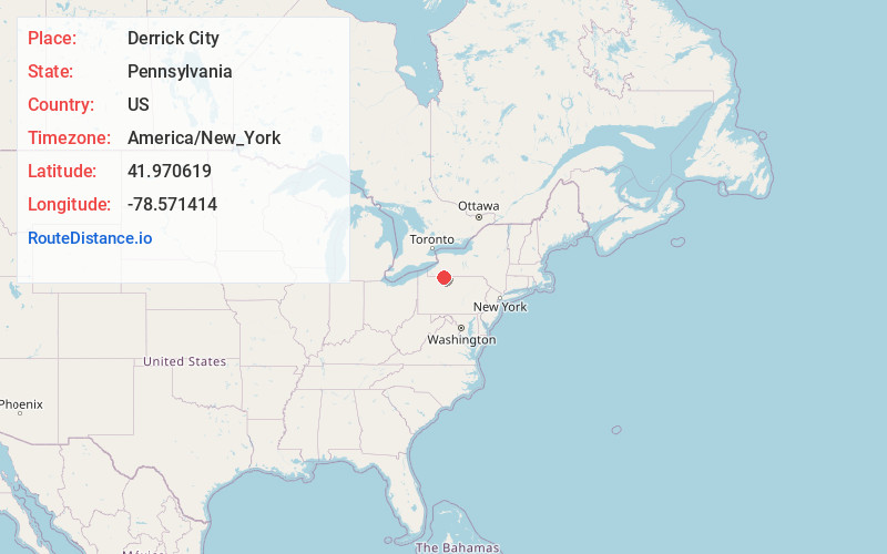
Full AddressDerrick City, PA 16701
-
Coordinates41.9706192, -78.5714136
-
LocationDerrick City , Pennsylvania , US
-
TimezoneAmerica/New_York
-
Current Local Time12:12:21 PM America/New_YorkThursday, June 19, 2025
-
Page Views0
About Derrick City
Derrick City is an unincorporated community in McKean County, Pennsylvania, United States. The community is located at the intersection of state routes 346 and 646, 4.1 miles east-northeast of Bradford. Derrick City has a post office with ZIP code 16727.
Nearby Places
Found 10 places within 50 miles

Gilmore
0.3 mi
0.5 km
Gilmore, Foster Township, PA 16701
Get directions
Foster Brook
0.8 mi
1.3 km
Foster Brook, Foster Township, PA
Get directions
Bells Camp
1.1 mi
1.8 km
Bells Camp, Foster Township, PA 16727
Get directions
Otto Township
4.0 mi
6.4 km
Otto Township, PA
Get directions

Bradford
4.1 mi
6.6 km
Bradford, PA 16701
Get directions
Knapp Creek
4.2 mi
6.8 km
Knapp Creek, NY 14760
Get directions

Limestone
4.9 mi
7.9 km
Limestone, NY 14753
Get directions
Rixford
5.0 mi
8.0 km
Rixford, PA 16745
Get directions
South Bradford
5.1 mi
8.2 km
South Bradford, Bradford Township, PA 16701
Get directions
Rew
5.1 mi
8.2 km
Rew, PA
Get directions
Location Links
Local Weather
Weather Information
Coming soon!
Location Map
Static map view of Derrick City, Pennsylvania
Browse Places by Distance
Places within specific distances from Derrick City
Short Distances
Long Distances
Click any distance to see all places within that range from Derrick City. Distances shown in miles (1 mile ≈ 1.61 kilometers).