Distance to Desert Wells, Arizona

Calculating Your Route
Just a moment while we process your request...
Location Information
-
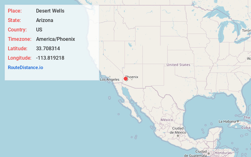
Full AddressDesert Wells, Vicksburg, AZ 85348
-
Coordinates33.7083142, -113.8192184
-
NeighborhoodDesert Wells
-
LocationVicksburg , Arizona , US
-
TimezoneAmerica/Phoenix
-
Current Local Time12:11:51 PM America/PhoenixThursday, June 5, 2025
-
Page Views0
About Desert Wells
Desert Wells, originally Desert Station, a stagecoach station on the La Paz–Wickenburg Road in the 1870s, is a populated place in La Paz County, Arizona, United States. It lies at an elevation of 1,132 feet / 345 meters and is located 4.7 miles west-southwest of Vicksburg on U.S. Route 60.
Nearby Places
Found 10 places within 50 miles

Bush Pit
4.1 mi
6.6 km
Bush Pit, AZ 85348
Get directions
Vicksburg
4.6 mi
7.4 km
Vicksburg, AZ
Get directions

Brenda
7.5 mi
12.1 km
Brenda, AZ 85348
Get directions
Utting
9.8 mi
15.8 km
Utting, AZ 85325
Get directions

Salome
12.8 mi
20.6 km
Salome, AZ
Get directions

Wenden
17.8 mi
28.6 km
Wenden, AZ 85357
Get directions

Bouse
18.8 mi
30.3 km
Bouse, AZ 85325
Get directions
Love
22.6 mi
36.4 km
Love, AZ 85357
Get directions
Sunwest
23.7 mi
38.1 km
Sunwest, AZ 85348
Get directions

Quartzsite
23.8 mi
38.3 km
Quartzsite, AZ 85346
Get directions
Location Links
Local Weather
Weather Information
Coming soon!
Location Map
Static map view of Desert Wells, Arizona
Browse Places by Distance
Places within specific distances from Desert Wells
Short Distances
Long Distances
Click any distance to see all places within that range from Desert Wells. Distances shown in miles (1 mile ≈ 1.61 kilometers).