Distance to Devil's Hopyard State Park, Connecticut

Calculating Your Route
Just a moment while we process your request...
Location Information
-
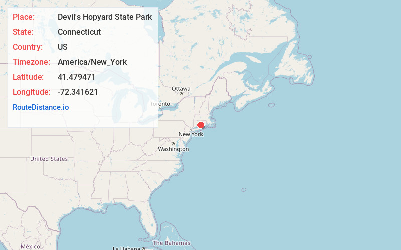
Full AddressDevil's Hopyard State Park, 366 Hopyard Rd, East Haddam, CT 06423
-
Coordinates41.4794712, -72.3416213
-
Street366 Hopyard Rd
-
LocationEast Haddam , Connecticut , US
-
TimezoneAmerica/New_York
-
Current Local Time11:46:03 AM America/New_YorkThursday, June 5, 2025
-
Page Views0
About Devil's Hopyard State Park
860 acres of rocky forest, crisscrossed by hiking trails & highlighted by 60-ft.-high Chapman Falls.


Nearby Places
Found 10 places within 50 miles

Millington
0.8 mi
1.3 km
Millington, East Haddam, CT 06423
Get directions
Salem
3.5 mi
5.6 km
Salem, CT 06420
Get directions
Mt Parnassus
3.7 mi
6.0 km
Mt Parnassus, East Haddam, CT 06423
Get directions

Lyme
5.4 mi
8.7 km
Lyme, CT
Get directions
Little Haddam
5.4 mi
8.7 km
Little Haddam, East Haddam, CT 06423
Get directions
Westchester
6.1 mi
9.8 km
Westchester, Colchester, CT 06415
Get directions
Brockway
6.2 mi
10.0 km
Brockway, Lyme, CT 06371
Get directions
Hamburg
6.6 mi
10.6 km
Hamburg, Lyme, CT 06371
Get directions

Colchester
6.7 mi
10.8 km
Colchester, CT 06415
Get directions
Brockway Landing
6.7 mi
10.8 km
Brockway Landing, Lyme, CT 06371
Get directions
Location Links
Local Weather
Weather Information
Coming soon!
Location Map
Static map view of Devil's Hopyard State Park, Connecticut
Browse Places by Distance
Places within specific distances from Devil's Hopyard State Park
Short Distances
Long Distances
Click any distance to see all places within that range from Devil's Hopyard State Park. Distances shown in miles (1 mile ≈ 1.61 kilometers).